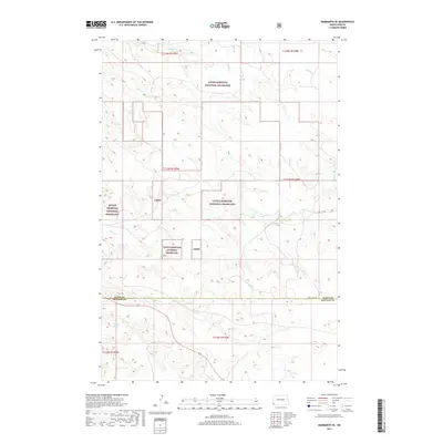
2017 Map of Marmarth SE
USGS Topo · Published 2017About this map
Little Missouri National Grassland dominates the landscape of this southwestern North Dakota corridor, where the high plains transition between the drainage basins of several prominent local waterways. The geography is defined by a series of creek systems, including the southward-flowing Indian Cr and the westward-trending Bacon Cr, which carve through the shortgrass prairie. Near the boundary between Slope and Bowman counties, the terrain is marked by Hay Cr and the uniquely named Dickey Draw. This 2017 survey reflects a largely undeveloped ranching and conservation environment, preserved through federal management as seen in the scattered Lmng tracts. Human infrastructure is minimal, represented by isolated corridors such as Fort Dilts Rd and 76th St Sw, tracing routes through the expansive public lands.
Find a feature on this map
16 named features on this map. Tap any name to fly to it.
Don’t see what you’re looking for? This feature index may not catch every label — zoom into the map to look around manually.
Map Details
Editions of this 2017 Marmarth SE Map
This is the sole edition of this map. No revisions or reprints were ever made.
Other maps of this area

1953 · Dickinson
USGS Topo · 1:250,000

1957 · Dickinson
USGS Topo · 1:250,000

1973 · Kid Creek
USGS Topo · 1:24,000

1973 · Cedar Hills
USGS Topo · 1:24,000

1973 · Rhame
USGS Topo · 1:24,000

1979 · Ives
USGS Topo · 1:24,000

1980 · Pretty Butte
USGS Topo · 1:24,000

1980 · Marmarth
USGS Topo · 1:24,000

1980 · Boyce Creek West
USGS Topo · 1:24,000

1981 · Bowman
USGS Topo · 1:100,000