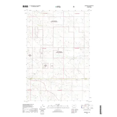
2020 Map of Marmarth SE
USGS Topo · Published 2020About this map
Little Missouri National Grassland dominates this corner of the High Plains where the borders of Slope and Bowman Counties meet. The settlement of Mazda sits nestled near the drainage of Hay Cr, illustrating the sparse but vital connection between water resources and human habitation in this arid landscape. The map reveals a high-elevation environment defined by significant terrain features like Dickey Draw and several intermittent watercourses including Bacon Cr and Worser Cr. A notable point of historical interest is the Fort Dilts Cem, located just off Fort Dilts Rd along the county line. This site provides a tangible link to the era of western expansion and early frontier defense. The surveyed township lines, such as t133n r105w, segment the rolling grasslands into a structured grid typical of the American West's public land system.
Find a feature on this map
20 named features on this map. Tap any name to fly to it.
Don’t see what you’re looking for? This feature index may not catch every label — zoom into the map to look around manually.
Map Details
Editions of this 2020 Marmarth SE Map
This is the sole edition of this map. No revisions or reprints were ever made.
Other maps of this area

1953 · Dickinson
USGS Topo · 1:250,000

1957 · Dickinson
USGS Topo · 1:250,000

1973 · Kid Creek
USGS Topo · 1:24,000

1973 · Cedar Hills
USGS Topo · 1:24,000

1973 · Rhame
USGS Topo · 1:24,000

1979 · Ives
USGS Topo · 1:24,000

1980 · Pretty Butte
USGS Topo · 1:24,000

1980 · Marmarth
USGS Topo · 1:24,000

1980 · Boyce Creek West
USGS Topo · 1:24,000

1981 · Bowman
USGS Topo · 1:100,000