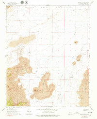
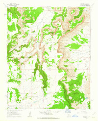
1961 Map of Marmon Ranch
USGS Topo · Published 1978About this map
The Laguna Indian Reservation dominates the northern reaches of this high-desert landscape, where volcanic geology and seasonal water sources dictate the pattern of human settlement. Extensive lava flows are central features, particularly around Middle Tsidu-Weza and the prominent Mush Mtn. For local historians and genealogists, the map preserves the locations of isolated homesteads and family sites such as Marmon Ranch, Alberts Homestead, and Romero Place, alongside more ephemeral ruins. Water management is critical in this arid environment, evidenced by a network of infrastructure including the Seis-Wilson Detention Dam No 1, Badger Windmill, and Martin Tank. These features, alongside natural landmarks like Petoch Butte and Arroyo Colorado, illustrate a ranching economy reliant on carefully managed drainage and dispersed springs.
Find a feature on this map
29 named features on this map. Tap any name to fly to it.
Don’t see what you’re looking for? This feature index may not catch every label — zoom into the map to look around manually.
Map Details
Editions of this 1961 Marmon Ranch Map
2 editions found
Other maps of this area

1917 · Cerro Verde
USGS Topo · 1:125,000

1917 · Broom Mountain
USGS Topo · 1:125,000

1954 · Socorro
USGS Topo · 1:250,000

1958 · Socorro
USGS Topo · 1:250,000
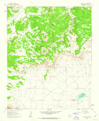
1960 · South Butte
USGS Topo · 1:24,000
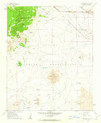
1960 · Dough Mountain
USGS Topo · 1:24,000

1960 · Cerro Verde
USGS Topo · 1:24,000
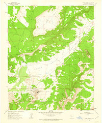
1961 · Acoma Pueblo
USGS Topo · 1:24,000

1961 · Marmon Ranch
USGS Topo · 1:24,000
1961 · East Mesa
USGS Topo · 1:24,000