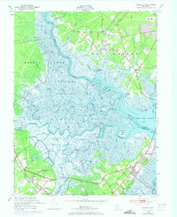
1952 Map of Marmora
USGS Topo · Published 1973About this map
Great Egg Harbor River and the Tuckahoe River converge in this coastal landscape, creating a complex network of salt marshes and tidal creeks. The area is defined by its maritime and wilderness heritage, including the vast Hunting and Fishing Grounds and the dense Griscom Swamp. Small landings like Scull Landing, Gibson Landing, and English Creek Landing point to a history of river-based commerce and transport that once sustained these communities.
Find a feature on this map
69 named features on this map. Tap any name to fly to it.
Don’t see what you’re looking for? This feature index may not catch every label — zoom into the map to look around manually.
Map Details
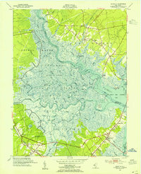
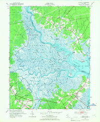
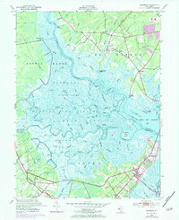
Editions of this 1952 Marmora Map
4 editions found
Other maps of this area

1884 · Sea Isle
USGS Topo · 1:62,500

1888 · Dennisville
USGS Topo · 1:62,500

1888 · Sea Isle
USGS Topo · 1:62,500

1890 · Great Egg Harbor
USGS Topo · 1:62,500

1890 · Tuckahoe
USGS Topo · 1:62,500

1893 · Great Egg Harbor
USGS Topo · 1:62,500

1893 · Tuckahoe
USGS Topo · 1:62,500

1894 · Dennisville
USGS Topo · 1:62,500

1894 · Sea Isle
USGS Topo · 1:62,500

1918 · Great Egg Harbor
USGS Topo · 1:62,500