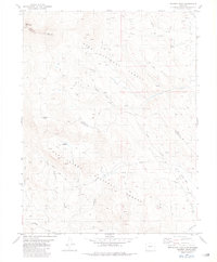
1982 Map of Marmot Peak
USGS Topo · Published 1983About this map
Marmot Peak stands as a central landmark in this high-altitude landscape along the border of Park and Chaffee counties. Surveyed in the mid-1970s and edited in the early 1980s, the map reveals a wilderness shaped by both natural features and human infrastructure. To the north, West Buffalo Peak and East Buffalo Peak dominate the skyline within the Pike National Forest, while the southern portion transition into the San Isabel National Forest.
Find a feature on this map
26 named features on this map. Tap any name to fly to it.
Don’t see what you’re looking for? This feature index may not catch every label — zoom into the map to look around manually.
Map Details
Editions of this 1982 Marmot Peak Map
2 editions found
Other maps of this area

1889 · Leadville
USGS Topo · 1:125,000

1891 · Leadville
USGS Topo · 1:125,000

1942 · Leadville
USGS Topo · 1:125,000

1953 · Denver
USGS Topo · 1:250,000

1954 · Pueblo
USGS Topo · 1:250,000

1955 · Buena Vista
USGS Topo · 1:62,500

1956 · Garo
USGS Topo · 1:24,000

1956 · Antero Reservoir
USGS Topo · 1:24,000

1956 · Montrose
USGS Topo · 1:250,000

1957 · Denver
USGS Topo · 1:250,000