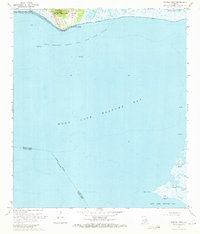
1970 Map of Marone Point
USGS Topo · Published 1971About this map
Cote Blanche Island rises above the marshy wetlands of coastal Louisiana, serving as a prominent geographical anchor in this 1970 survey. The salt dome island features the small settlement at Cote Blanche Landing and the distinctive Red Bluff shoreline. The surrounding waters of West Cote Blanche Bay are dominated by the extensive Cote Blanche Island Oil and Gas Field, marked by offshore platforms and several gas wells.
Find a feature on this map
17 named features on this map. Tap any name to fly to it.
Don’t see what you’re looking for? This feature index may not catch every label — zoom into the map to look around manually.
Map Details
Editions of this 1970 Marone Point Map
2 editions found
Other maps of this area

1932 · Bayou Blanc
USGS Topo · 1:31,680

1937 · Bayou Sale
USGS Topo · 1:62,500

1937 · Jeanerette
USGS Topo · 1:62,500

1937 · Derouen
USGS Topo · 1:62,500

1945 · New Orleans
USGS Topo · 1:250,000
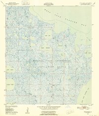
1948 · Bayou Blanc
USGS Topo · 1:24,000

1949 · Cypremort Pt
USGS Topo · 1:31,680
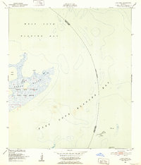
1951 · Lake Point
USGS Topo · 1:24,000

1954 · Jeanerette
USGS Topo · 1:62,500

1957 · Bayou Sale
USGS Topo · 1:62,500