
1960 Map of Maroon Bells
USGS Topo · Published 1964About this map
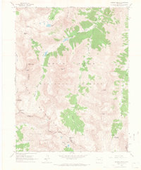
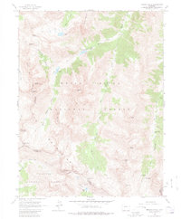
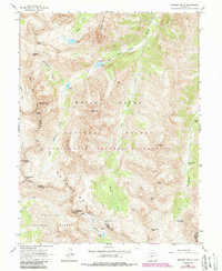
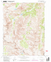
Elk Mountains peaks dominate this high-altitude landscape along the border of Pitkin and Gunnison counties. The 1960 survey documents a transition in land use, where former extraction efforts like the solitary Mine on the southern slopes are overshadowed by recreation and conservation within the White River and Gunnison National Forests. The drainage systems of West Maroon and East Maroon Creek create natural corridors through the steep terrain, punctuated by alpine landmarks such as Maroon Lake and Crater Lake. High-elevation passes including West Maroon Pass and East Maroon Pass provide historical transit points between basins, while the presence of the Conundrum Guard Station near Conundrum Hot Springs highlights early forest management infrastructure in this isolated mountain territory.
Find a feature on this map
38 named features on this map. Tap any name to fly to it.
Don’t see what you’re looking for? This feature index may not catch every label — zoom into the map to look around manually.
Map Details
Editions of this 1960 Maroon Bells Map
8 editions found
Other maps of this area

1888 · Crested Butte
USGS Topo · 1:62,500

1888 · Anthracite
USGS Topo · 1:62,500

1889 · Crested Butte
USGS Topo · 1:62,500

1889 · Anthracite
USGS Topo · 1:62,500

1893 · Anthracite
USGS Topo · 1:62,500

1893 · Crested Butte
USGS Topo · 1:62,500

1893 · Aspen
USGS Topo · 1:62,500

1894 · Anthracite
USGS Topo · 1:62,500

1895 · Aspen
USGS Topo · 1:62,500

1909 · Mount Jackson
USGS Topo · 1:125,000