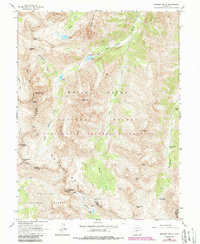
1960 Map of Maroon Bells
USGS Topo · Published 1988About this map
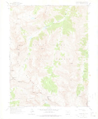
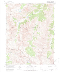
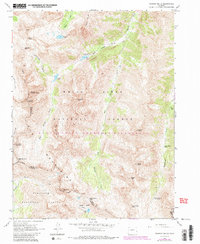
Maroon Bells-Snowmass Wilderness dominates this 1960s-era topographic study, centered on the high peaks of the Elk Mountains. The map reveals a high-altitude landscape defined by steep drainage basins and massive summits, including the iconic Maroon Peak and North Maroon Peak. The convergence of the White River National Forest and Gunnison National Forest is marked by the county line between Pitkin and Gunnison, traversing ridges and passes. Human presence is concentrated at the Maroon Lake Campground and along the base of Pyramid Peak, while more isolated features like the Conundrum Hot Springs and a lone Mine in the south indicate the era's recreational and industrial reach into the backcountry. The drainage patterns of Maroon Creek and Conundrum Creek illustrate the glacial carving of these valleys, leading to high-elevation basins such as Copper Basin.
Find a feature on this map
42 named features on this map. Tap any name to fly to it.
Don’t see what you’re looking for? This feature index may not catch every label — zoom into the map to look around manually.
Map Details
Editions of this 1960 Maroon Bells Map
8 editions found

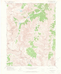
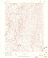
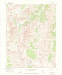
Other maps of this area

1888 · Crested Butte
USGS Topo · 1:62,500

1888 · Anthracite
USGS Topo · 1:62,500

1889 · Crested Butte
USGS Topo · 1:62,500

1889 · Anthracite
USGS Topo · 1:62,500

1893 · Anthracite
USGS Topo · 1:62,500

1893 · Crested Butte
USGS Topo · 1:62,500

1893 · Aspen
USGS Topo · 1:62,500

1894 · Anthracite
USGS Topo · 1:62,500

1895 · Aspen
USGS Topo · 1:62,500

1909 · Mount Jackson
USGS Topo · 1:125,000