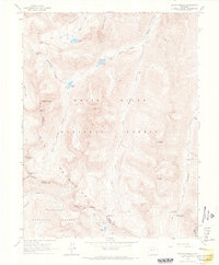
1960 Map of Maroon Bells
USGS Topo · Published 1966About this map
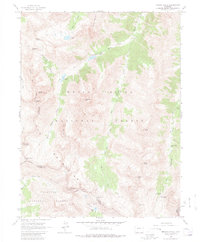
The Elk Mountains dominate this high-altitude survey of the White River National Forest and Gunnison National Forest. Centered on the iconic twin peaks of the Maroon Bells, including Maroon Peak and North Maroon Peak, the map documents a terrain defined by sharp ridges and deep glacial valleys. An unnamed Mine sits near the head of Rustler Gulch, reflecting the region’s mineral history, while the Conundrum Guard Station and Maroon Lake Campground mark the established recreational and administrative presence in the backcountry.
Find a feature on this map
36 named features on this map. Tap any name to fly to it.
Don’t see what you’re looking for? This feature index may not catch every label — zoom into the map to look around manually.
Map Details
Editions of this 1960 Maroon Bells Map
8 editions found

Other maps of this area

1888 · Crested Butte
USGS Topo · 1:62,500

1888 · Anthracite
USGS Topo · 1:62,500

1889 · Crested Butte
USGS Topo · 1:62,500

1889 · Anthracite
USGS Topo · 1:62,500

1893 · Anthracite
USGS Topo · 1:62,500

1893 · Crested Butte
USGS Topo · 1:62,500

1893 · Aspen
USGS Topo · 1:62,500

1894 · Anthracite
USGS Topo · 1:62,500

1895 · Aspen
USGS Topo · 1:62,500

1909 · Mount Jackson
USGS Topo · 1:125,000