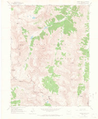
1960 Map of Maroon Bells
USGS Topo · Published 1966About this map
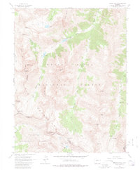
The Elk Mountains define this high-altitude landscape where the Pitkin Co Gunnison Co line traverses some of the most prominent summits in the range. The 1960 survey focuses on the glacier-carved valleys and sharp peaks of the White River National Forest and Gunnison National Forest. A complex network of Pack Trail routes connects the deep basins, providing access to landmarks like Maroon Lake and its nearby Maroon Lake Campground. The presence of a Mine in the southern reaches and the Conundrum Guard Station near Conundrum Hot Springs reflects the historical intersection of resource extraction and early wilderness management. High passes such as Buckskin Pass and West Maroon Pass serve as the primary gateways between the steep drainages of Maroon Creek and Snowmass Creek.
Find a feature on this map
39 named features on this map. Tap any name to fly to it.
Don’t see what you’re looking for? This feature index may not catch every label — zoom into the map to look around manually.
Map Details
Editions of this 1960 Maroon Bells Map
8 editions found

Other maps of this area

1888 · Crested Butte
USGS Topo · 1:62,500

1888 · Anthracite
USGS Topo · 1:62,500

1889 · Crested Butte
USGS Topo · 1:62,500

1889 · Anthracite
USGS Topo · 1:62,500

1893 · Anthracite
USGS Topo · 1:62,500

1893 · Crested Butte
USGS Topo · 1:62,500

1893 · Aspen
USGS Topo · 1:62,500

1894 · Anthracite
USGS Topo · 1:62,500

1895 · Aspen
USGS Topo · 1:62,500

1909 · Mount Jackson
USGS Topo · 1:125,000