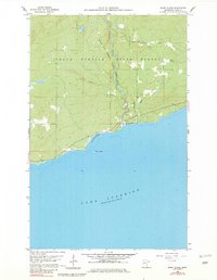
1960 Map of Marr Island
USGS Topo · Published 1982About this map
Lake Superior dominates the southern reaches of this Cook County coastal survey, which documents the rugged North Shore landscape as it appeared in the late 1950s and early 1960s. The shoreline is characterized by rocky points and small landmarks like Marr Island and Paradise Beach, while the interior shows the deep-cut valleys of the Brule River and the Flute Reed River. Much of the northern terrain is managed wilderness within the Grand Portage State Forest and Judge C.R. Magney State Park. The road network is sparse, centered on the coastal highway designated as Route 61, which connects small recreational nodes like Arrowhead Park. For local historians, the map preserves the locations of a small Cem and a Gravel Pit, providing evidence of early settlement and resource extraction along this isolated stretch of the Great Lakes coast.
Find a feature on this map
15 named features on this map. Tap any name to fly to it.
Don’t see what you’re looking for? This feature index may not catch every label — zoom into the map to look around manually.
Map Details
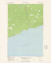
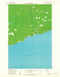
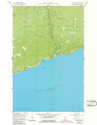
Editions of this 1960 Marr Island Map
4 editions found
Other maps of this area

1954 · Two Harbors
USGS Topo · 1:250,000

1957 · Two Harbors
USGS Topo · 1:250,000

1958 · Two Harbors
USGS Topo · 1:250,000

1958 · Hancock
USGS Topo · 1:250,000

1959 · Northern Light Lake
USGS Topo · 1:24,000

1959 · Tom Lake
USGS Topo · 1:24,000

1960 · Hancock
USGS Topo · 1:250,000
1960 · Farquhar Peak
USGS Topo · 1:24,000
1960 · Hovland
USGS Topo · 1:24,000
1960 · Kadunce Creek
USGS Topo · 1:24,000