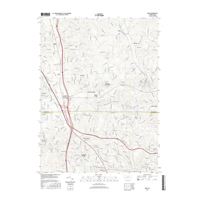
2016 Map of Mars
USGS Topo · Published 2016About this map
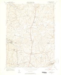
Seven Fields and the borough of Mars anchor this landscape along the Butler County and Allegheny County line. The map captures a region defined by residential growth and established community hubs, where suburban developments like Hendersonville and Fox Run sit adjacent to older crossroads and rural landmarks. This 2016 survey illustrates the extensive road network that links these settlements, including the corridor near Criders Corners and the transit lines through Warrendale.
Find a feature on this map
215 named features on this map. Tap any name to fly to it.
Don’t see what you’re looking for? This feature index may not catch every label — zoom into the map to look around manually.
Map Details
Editions of this 2016 Mars Map
This is the sole edition of this map. No revisions or reprints were ever made.
Other maps of this area

1906 · Sewickley
USGS Topo · 1:62,500

1908 · Sewickley
USGS Topo · 1:62,500
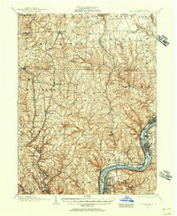
1908 · New Kensington
USGS Topo · 1:62,500

1908 · Zelienople
USGS Topo · 1:62,500

1909 · Butler
USGS Topo · 1:62,500
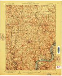
1910 · New Kensington
USGS Topo · 1:62,500

1910 · Zelienople
USGS Topo · 1:62,500
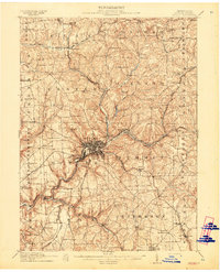
1911 · Butler
USGS Topo · 1:62,500
1950 · Valencia
USGS Topo · 1:24,000

1951 · Canton
USGS Topo · 1:250,000