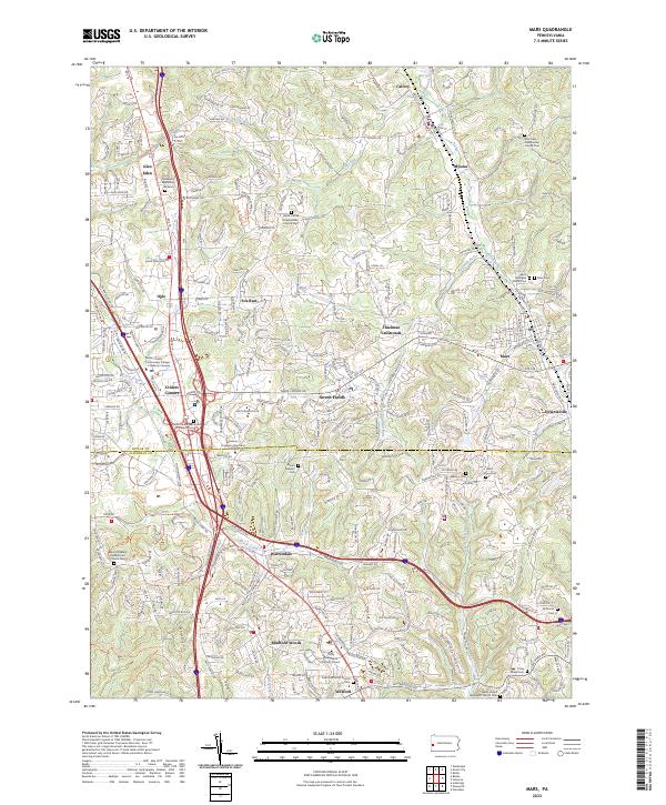
2023 Map of Mars
USGS Topo · Published 2023About this map
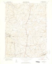
The boundary between Butler Co and Allegheny Co bisects a landscape of rapidly maturing residential corridors and long-established borough centers. The Mars and Callery communities serve as historical anchors in the north, while the southern portion of the sheet is defined by the suburban expansion around Wexford and Bradford Woods. This area is particularly rich in genealogical resources, featuring numerous burial grounds such as Saint Barnabas Home Cem and the Plains United Presbyterian Church Cem.
Find a feature on this map
309 named features on this map. Tap any name to fly to it.
Don’t see what you’re looking for? This feature index may not catch every label — zoom into the map to look around manually.
Map Details
Editions of this 2023 Mars Map
This is the sole edition of this map. No revisions or reprints were ever made.
Other maps of this area

1906 · Sewickley
USGS Topo · 1:62,500

1908 · Sewickley
USGS Topo · 1:62,500
1908 · New Kensington
USGS Topo · 1:62,500

1908 · Zelienople
USGS Topo · 1:62,500

1909 · Butler
USGS Topo · 1:62,500
1910 · New Kensington
USGS Topo · 1:62,500

1910 · Zelienople
USGS Topo · 1:62,500
1911 · Butler
USGS Topo · 1:62,500
1950 · Valencia
USGS Topo · 1:24,000

1951 · Canton
USGS Topo · 1:250,000