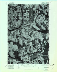
1975 Map of Mars Hill NW
USGS Topo · Published 1982About this map
Easton and the surrounding potato-farming landscape of Aroostook County are captured in this mid-1970s orthophotograph, showcasing the intricate mosaic of cleared fields and woodlots along the international border. The survey highlights the importance of the Maine New Brunswick railroad corridor, which links the northern settlements of Parkhurst and Phair to the local hub at Easton Station. This aerial perspective provides a unique look at land use patterns before modern industrial expansion, particularly how farms were shaped by the winding course of Prestile Stream. The proximity to the United States Canada boundary is evident, with the border line cutting through the dense timber and agricultural plots that define this northern Maine frontier.
Find a feature on this map
7 named features on this map. Tap any name to fly to it.
Don’t see what you’re looking for? This feature index may not catch every label — zoom into the map to look around manually.
Map Details
Editions of this 1975 Mars Hill NW Map
2 editions found
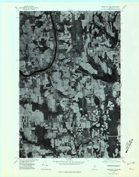
Other maps of this area

1929 · Caribou
USGS Topo · 1:48,000

1930 · Fort Fairfield
USGS Topo · 1:48,000

1932 · Caribou
USGS Topo · 1:62,500

1933 · Fort Fairfield
USGS Topo · 1:62,500

1935 · Presque Isle
USGS Topo · 1:62,500

1936 · Mars Hill
USGS Topo · 1:48,000

1940 · Mars Hill
USGS Topo · 1:62,500

1951 · Mars Hill
USGS Topo · 1:62,500

1951 · Fort Fairfield
USGS Topo · 1:62,500

1953 · Presque Isle
USGS Topo · 1:62,500