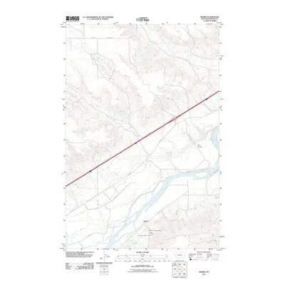
2011 Map of Marsh
USGS Topo · Published 2011About this map
The settlement of Marsh serves as a small anchor along the banks of the Yellowstone River in this part of Dawson County. The landscape is defined by the broad river valley and the drainages that feed into it, including Clear Creek, Monroe Creek, and the curiously named Dry Coulee. The concentration of communal sites south of the river suggests a cluster of historical significance for local families, particularly with the grouping of the Missouri Lutheran Cemetery, Marsh Cemetery, and Jehovah Lutheran Cemetery near the river bend.
Find a feature on this map
18 named features on this map. Tap any name to fly to it.
Don’t see what you’re looking for? This feature index may not catch every label — zoom into the map to look around manually.
Map Details
Editions of this 2011 Marsh Map
This is the sole edition of this map. No revisions or reprints were ever made.
Other maps of this area

1909 · Glendive
USGS Topo · 1:250,000

1953 · Miles City
USGS Topo · 1:250,000

1954 · Glendive
USGS Topo · 1:250,000

1957 · Miles City
USGS Topo · 1:250,000

1957 · Glendive
USGS Topo · 1:250,000

1958 · Miles City
USGS Topo · 1:250,000

1958 · Glendive
USGS Topo · 1:250,000

1966 · Fallon
USGS Topo · 1:24,000

1966 · Marsh SW
USGS Topo · 1:24,000

1967 · Marsh
USGS Topo · 1:24,000