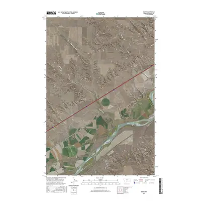
2017 Map of Marsh
USGS Topo · Published 2017About this map
The Yellowstone River anchors this landscape in eastern Montana, carving through the terrain south of the small community of Marsh. This settlement serves as a focal point for local history, notably housing three distinct burial grounds: the Marsh Cem, Missouri Lutheran Cem, and Jehovah Lutheran Cem. These sites, clustered together near the river’s north bank, suggest a concentrated spiritual and social center for the surrounding ranching and farming community.
Find a feature on this map
25 named features on this map. Tap any name to fly to it.
Don’t see what you’re looking for? This feature index may not catch every label — zoom into the map to look around manually.
Map Details
Editions of this 2017 Marsh Map
This is the sole edition of this map. No revisions or reprints were ever made.
Other maps of this area

1909 · Glendive
USGS Topo · 1:250,000

1953 · Miles City
USGS Topo · 1:250,000

1954 · Glendive
USGS Topo · 1:250,000

1957 · Miles City
USGS Topo · 1:250,000

1957 · Glendive
USGS Topo · 1:250,000

1958 · Miles City
USGS Topo · 1:250,000

1958 · Glendive
USGS Topo · 1:250,000

1966 · Fallon
USGS Topo · 1:24,000

1966 · Marsh SW
USGS Topo · 1:24,000

1967 · Marsh
USGS Topo · 1:24,000