
1968 Map of Marsh Pass
USGS Topo · Published 1971About this map
Skeleton Mesa dominates this 1968 landscape, where deep incisions like Tsegi Canyon and Wildcat Canyon reveal a geography rich in ancient archaeology and Indigenous history within the Navajo Indian Reservation. The map documents the intricate layout of these canyons, which converge near Marsh Pass and the settlement of Tsegi. Cultural sites are prominently noted, including Cliff Dwelling sites tucked into the canyon walls and the specific Swallows Nest Ruins near the confluence of Laguna Creek and Dowozhrebito Canyon.
Find a feature on this map
24 named features on this map. Tap any name to fly to it.
Don’t see what you’re looking for? This feature index may not catch every label — zoom into the map to look around manually.
Map Details
Editions of this 1968 Marsh Pass Map
This is the sole edition of this map. No revisions or reprints were ever made.
Other maps of this area

1883 · Marsh Pass
USGS Topo · 1:250,000

1892 · Marsh Pass
USGS Topo · 1:250,000

1952 · Agathla Peak 2 SW
USGS Topo · 1:24,000

1952 · Boot Mesa
USGS Topo · 1:62,500

1952 · Agathla Peak 2 SE
USGS Topo · 1:24,000

1956 · Marble Canyon
USGS Topo · 1:250,000

1959 · Marble Canyon
USGS Topo · 1:250,000

1961 · Marble Canyon
USGS Topo · 1:250,000
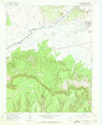
1968 · Kayenta West
USGS Topo · 1:24,000
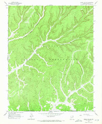
1968 · Marsh Pass SE
USGS Topo · 1:24,000