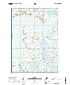
2020 Map of Marshall A-8 SW
USGS Topo · Published 2020About this map
Azun River dominates the central landscape of this Kusilvak Census Area quadrangle, winding through a complex network of wetlands and tundra. The region is defined by its intricate hydrography, where the Narokuchik River joins the larger system amidst a vast expanse of unpopulated terrain. In the southern portion of the survey, the Kealavik River meanders across the landscape, illustrating the shifting water courses typical of the Alaskan delta regions. This 2020 data captures a snapshot of the wilderness before any significant modern infrastructure, showing the raw natural drainage patterns of t12n r89w and the surrounding townships. The lack of named settlements or roads emphasizes the isolation of this riverine environment, making it a primary reference for understanding the geography of the Yukon-Kuskokwim Delta area.
Find a feature on this map
7 named features on this map. Tap any name to fly to it.
Don’t see what you’re looking for? This feature index may not catch every label — zoom into the map to look around manually.
Map Details
Editions of this 2020 Marshall A-8 SW Map
This is the sole edition of this map. No revisions or reprints were ever made.
Other maps of this area

1951 · Marshall
USGS Topo · 1:250,000

1951 · Hooper Bay
USGS Topo · 1:250,000

1951 · Nunivak Island
USGS Topo · 1:250,000

1951 · Baird Inlet
USGS Topo · 1:250,000

1953 · Hooper Bay
USGS Topo · 1:250,000

1954 · Nunivak Island
USGS Topo · 1:250,000
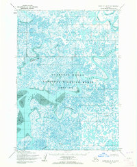
1954 · Marshall A-8
USGS Topo · 1:63,360

1954 · Marshall
USGS Topo · 1:250,000

1954 · Baird Inlet
USGS Topo · 1:250,000

1954 · Baird Inlet D-8
USGS Topo · 1:63,360