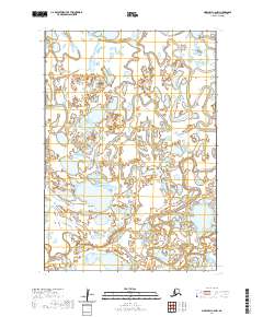
2020 Map of Marshall C-6 NW
USGS Topo · Published 2020About this map
Nungatak River and the Manokinak River dominate this complex wetland environment within the Kusilvak Census Area. The terrain is characterized by a dense network of small lakes and winding watercourses that define the hydrologic character of this part of Alaska. This topographic study captures the intricate drainage patterns where these two rivers meander across the landscape, illustrating a wilderness area defined by water rather than human infrastructure. The survey data reflects the state of these shifting waterways and the surrounding tundra, providing an essential record for those studying the natural history or geographic evolution of the region's river systems.
Find a feature on this map
6 named features on this map. Tap any name to fly to it.
Don’t see what you’re looking for? This feature index may not catch every label — zoom into the map to look around manually.
Map Details
Editions of this 2020 Marshall C-6 NW Map
This is the sole edition of this map. No revisions or reprints were ever made.
Other maps of this area

1951 · Marshall
USGS Topo · 1:250,000

1952 · Marshall C-7
USGS Topo · 1:63,360

1952 · Marshall C-6
USGS Topo · 1:63,360
1952 · Marshall D-7
USGS Topo · 1:63,360

1952 · Marshall D-6
USGS Topo · 1:63,360

1954 · Marshall
USGS Topo · 1:250,000
2020 · Marshall C-6 SE
USGS Topo · 1:25,000
2020 · Marshall D-6 SW
USGS Topo · 1:25,000
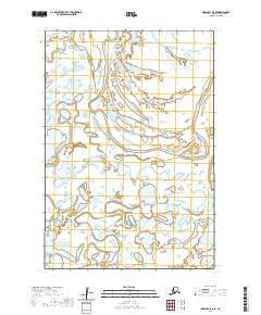
2020 · Marshall D-6 SE
USGS Topo · 1:25,000
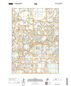
2020 · Marshall C-6 NE
USGS Topo · 1:25,000