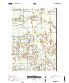
2020 Map of Marshall D-7 NE
USGS Topo · Published 2020About this map
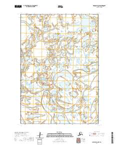
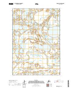
Black River meanders through the heart of this coastal Alaskan landscape, part of an intricate network of waterways in the Kusilvak Census Area. This hydrographic study reveals a low-lying terrain dominated by the fluid movements of the Kipniarak River, which intersects the eastern portion of the quadrangle. To the south, the Kipungolak River and Kun River further define the wet, marshy character of this delta region. The map reflects a landscape almost entirely shaped by water, where subtle changes in elevation dictate the paths of these multiple river systems as they weave through the Yukon-Kuskokwim Delta. This 2020 record serves as a precise baseline for understanding the shifting hydrology of this subarctic environment, where land and water exist in a state of constant transition.
Find a feature on this map
8 named features on this map. Tap any name to fly to it.
Don’t see what you’re looking for? This feature index may not catch every label — zoom into the map to look around manually.
Map Details
Editions of this 2020 Marshall D-7 NE Map
This is the sole edition of this map. No revisions or reprints were ever made.
Other maps of this area

1951 · Marshall
USGS Topo · 1:250,000

1952 · Kwiguk
USGS Topo · 1:250,000

1952 · Kwiguk A-5
USGS Topo · 1:63,360
1952 · Marshall D-7
USGS Topo · 1:63,360

1952 · Marshall D-6
USGS Topo · 1:63,360

1954 · Marshall
USGS Topo · 1:250,000
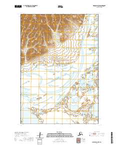
2020 · Marshall D-7 NW
USGS Topo · 1:25,000
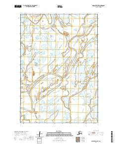
2020 · Marshall D-6 SW
USGS Topo · 1:25,000
2020 · Marshall D-6 NW
USGS Topo · 1:25,000
2020 · Marshall D-7 SE
USGS Topo · 1:25,000