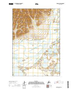
2020 Map of Marshall D-7 NW
USGS Topo · Published 2020About this map
Kusilvak Mountains dominate the northern landscape of this region in the Kusilvak Census Area, rising sharply above the complex alluvial plains of the Yukon-Kuskokwim Delta. The contrast between the high ground and the water-saturated lowlands is stark, defined by the winding course of the Black River and the Kun River. This 2020 survey reveals a wilderness defined by its drainage patterns, where small lakes and ponds dot the terrain between the primary river channels. The cartography illustrates the intricate relationship between the mountain runoff and the marshy basins below, documenting a territory shaped almost entirely by natural hydrography and elevation rather than human settlement or infrastructure.
Find a feature on this map
7 named features on this map. Tap any name to fly to it.
Don’t see what you’re looking for? This feature index may not catch every label — zoom into the map to look around manually.
Map Details
Editions of this 2020 Marshall D-7 NW Map
This is the sole edition of this map. No revisions or reprints were ever made.
Other maps of this area

1951 · Marshall
USGS Topo · 1:250,000

1952 · Kwiguk
USGS Topo · 1:250,000

1952 · Kwiguk A-5
USGS Topo · 1:63,360

1952 · Kwiguk A-6
USGS Topo · 1:63,360
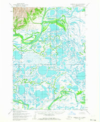
1952 · Marshall D-7
USGS Topo · 1:63,360
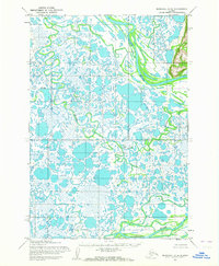
1952 · Marshall D-8
USGS Topo · 1:63,360

1954 · Marshall
USGS Topo · 1:250,000
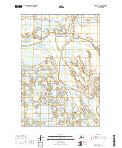
2020 · Marshall D-7 NE
USGS Topo · 1:25,000
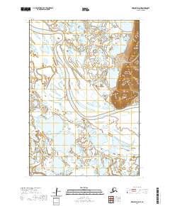
2020 · Marshall D-8 NE
USGS Topo · 1:25,000
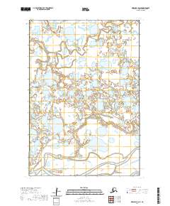
2020 · Marshall D-8 SE
USGS Topo · 1:25,000