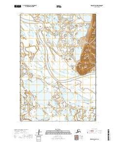
2020 Map of Marshall D-8 NE
USGS Topo · Published 2020About this map
The Black River snakes through the expansive marshlands and river deltas of the Kusilvak Census Area, defining the wet, low-lying geography of this Alaskan interior. While much of the landscape is dominated by water and shifting riverbanks, the terrain rises sharply in the east toward the Kusilvak Mountains and the distinct Ulokat Hills. These high points provide a stark vertical contrast to the surrounding tundra and the numerous interconnected water bodies, such as Nunavakonuk Lake. Hydrological patterns are further established by the Taslaktoli River and Kun River, which together illustrate the complex drainage systems typical of the Yukon-Kuskokwim Delta region. This survey highlights a wilderness where geography is governed almost entirely by seasonal water cycles and prominent geological uplifts.
Find a feature on this map
10 named features on this map. Tap any name to fly to it.
Don’t see what you’re looking for? This feature index may not catch every label — zoom into the map to look around manually.
Map Details
Editions of this 2020 Marshall D-8 NE Map
This is the sole edition of this map. No revisions or reprints were ever made.
Other maps of this area

1951 · Marshall
USGS Topo · 1:250,000

1952 · Kwiguk
USGS Topo · 1:250,000

1952 · Kwiguk A-6
USGS Topo · 1:63,360
1952 · Marshall D-7
USGS Topo · 1:63,360
1952 · Marshall D-8
USGS Topo · 1:63,360

1954 · Marshall
USGS Topo · 1:250,000
2020 · Marshall D-8 SW
USGS Topo · 1:25,000
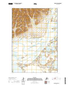
2020 · Marshall D-7 NW
USGS Topo · 1:25,000
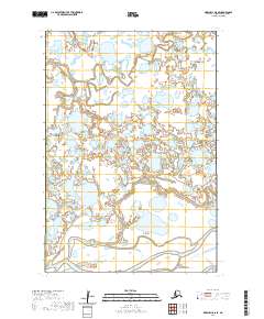
2020 · Marshall D-8 SE
USGS Topo · 1:25,000
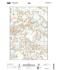
2020 · Marshall D-8 NW
USGS Topo · 1:25,000