Loading...
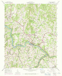
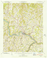
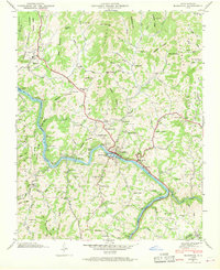
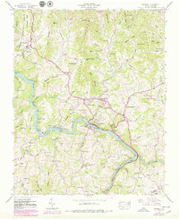
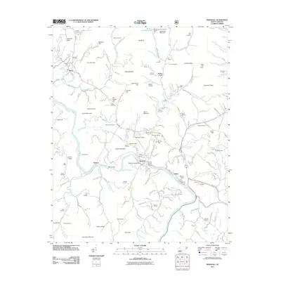
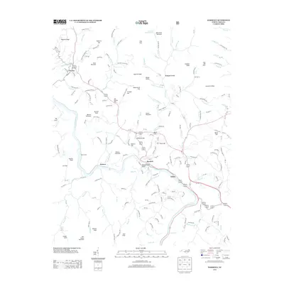
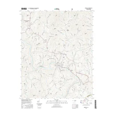
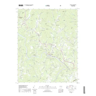
Loading map...1945 Map of Marshall
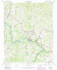
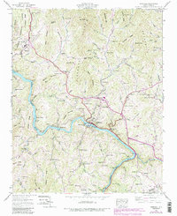
USGS Topo · Published 1971About this map
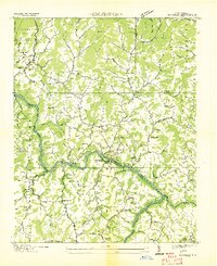
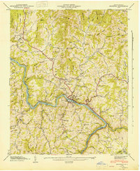
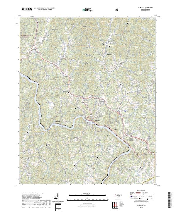
The French Broad River serves as the central artery for this mountainous region of Western North Carolina, winding past the town of Marshall and the settlement of Rollins. The river corridor is shared by the Southern Ry and the historic Dixie Highway, illustrating how the narrow valleys dictated transportation routes through the Blue Ridge. On the heights above the river, the landscape is dotted with family-named landmarks and rural institutions such as the Madison Seminary and the County Home.
Find a feature on this map
107 named features on this map. Tap any name to fly to it.
Don’t see what you’re looking for? This feature index may not catch every label — zoom into the map to look around manually.
Map Details
Date Portrayed1945
Date Published1971
PublisherU.S. Geological Survey
Map TypeTopographic
Scale1:24,000
Physical Dimensions22.1 x 27 inches
Editions of this 1945 Marshall Map
6 editions found
Historical Maps of Marshall Through Time
8 maps found
Featured Locations
Source Details
SourceU.S. Geological Survey
CopyrightPublic Domain