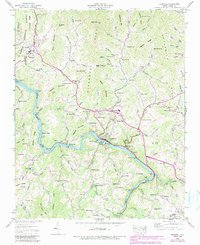
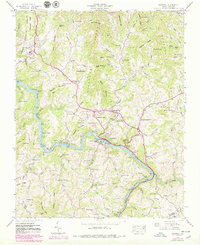
1945 Map of Marshall
USGS Topo · Published 1990About this map
The French Broad River carves a deep valley through the heart of Madison County, framing the town of Marshall as it appeared in the mid-1940s. The settlement pattern is defined by the steep mountain topography, with homesteads and family cemeteries such as the Gahagan Cem and Mc Devitt Cem clinging to ridges and gaps. Along the river, the Southern railroad line follows the water's edge, supporting the Nocona Siding and industry near Redmon Dam.
Find a feature on this map
125 named features on this map. Tap any name to fly to it.
Don’t see what you’re looking for? This feature index may not catch every label — zoom into the map to look around manually.
Map Details
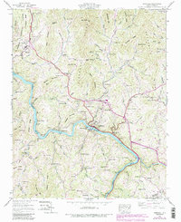
Editions of this 1945 Marshall Map
6 editions found
Other maps of this area

1894 · Asheville
USGS Topo · 1:125,000

1901 · Asheville
USGS Topo · 1:125,000

1935 · Hot Springs
USGS Topo · 1:24,000

1935 · Spring Creek
USGS Topo · 1:24,000

1936 · Marshall
USGS Topo · 1:24,000

1936 · Sandymush
USGS Topo · 1:24,000

1936 · Sams Gap
USGS Topo · 1:24,000

1936 · White Rock
USGS Topo · 1:24,000

1936 · Weaverville
USGS Topo · 1:24,000

1936 · Mars Hill
USGS Topo · 1:24,000