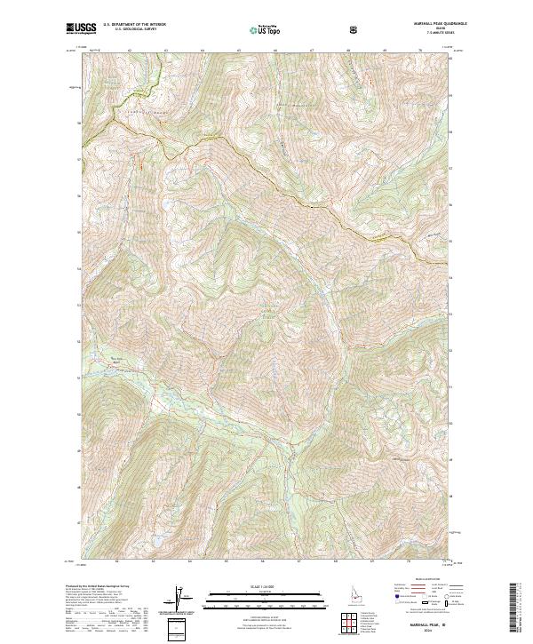
2024 Map of Marshall Peak
USGS Topo · Published 2024About this map
Marshall Peak and the high ridges of the Smoky Mountains dominate this high-elevation landscape where the borders of Camas, Elmore, and Blaine counties meet. The area is defined by the convergence of the Boise and Sawtooth National Forests, including the protected reaches of the Sawtooth Wilderness. A complex drainage system feeds the South Fork of the Boise River, with Alturas Lake Creek, Johnson Creek, and Ross Fork carving deep basins between the peaks.
Find a feature on this map
45 named features on this map. Tap any name to fly to it.
Don’t see what you’re looking for? This feature index may not catch every label — zoom into the map to look around manually.
Map Details
Editions of this 2024 Marshall Peak Map
This is the sole edition of this map. No revisions or reprints were ever made.
Other maps of this area

1894 · Rocky Bar
USGS Topo · 1:125,000

1900 · Sawtooth
USGS Topo · 1:125,000

1955 · Hailey
USGS Topo · 1:250,000

1959 · Hailey
USGS Topo · 1:250,000

1962 · Hailey
USGS Topo · 1:250,000

1963 · Alturas Lake
USGS Topo · 1:24,000

1964 · Frenchman Creek
USGS Topo · 1:24,000

1964 · Ross Peak
USGS Topo · 1:24,000
1964 · Snowyside Peak
USGS Topo · 1:24,000

1964 · Marshall Peak
USGS Topo · 1:24,000