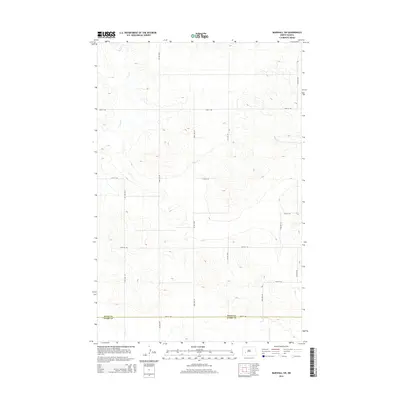
2014 Map of Marshall SW
USGS Topo · Published 2014About this map
The rolling grasslands of the western North Dakota prairie define this landscape, where the administrative boundary of Dunn Co Stark Co bisects the southern reaches of the quadrangle. In this rural expanse, the drainage of Deep Cr provides the primary relief, carving through the high plains topography in the northwestern corner. The area is structured by a rigid section-line road grid, which serves as the primary infrastructure for the sparsely populated agricultural land. Notable routes such as 22nd St SW and 92nd Ave SW crisscross the terrain, reflecting the systematic land division typical of the Great Plains. This 2014 survey captures the region as it maintains its traditional ranching and farming character, with the landscape mostly uninterrupted by large-scale development or urban centers.
Find a feature on this map
14 named features on this map. Tap any name to fly to it.
Don’t see what you’re looking for? This feature index may not catch every label — zoom into the map to look around manually.
Map Details
Editions of this 2014 Marshall SW Map
This is the sole edition of this map. No revisions or reprints were ever made.
Other maps of this area

1953 · Dickinson
USGS Topo · 1:250,000

1953 · Watford City
USGS Topo · 1:250,000

1957 · Dickinson
USGS Topo · 1:250,000

1957 · Watford City
USGS Topo · 1:250,000

1967 · Watford City
USGS Topo · 1:250,000

1973 · Marshall SE
USGS Topo · 1:24,000

1973 · Boyle
USGS Topo · 1:24,000

1973 · Taylor
USGS Topo · 1:24,000

1973 · Marshall SW
USGS Topo · 1:24,000

1973 · Ziner Butte
USGS Topo · 1:24,000