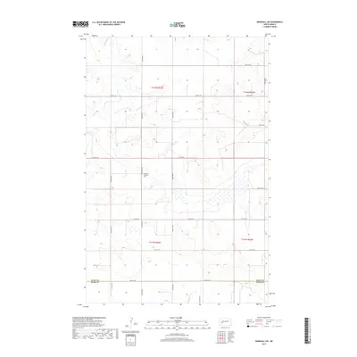
2017 Map of Marshall SW
USGS Topo · Published 2017About this map
The Dunn Co Stark Co boundary line bisects this quiet section of the North Dakota plains, where the rolling landscape is defined by the headwaters of Deep Cr. For genealogists and local historians, the Ridgeway Lutheran Cem serves as a significant landmark in the central portion of the map, representing the enduring legacy of early settlers in this agrarian region. The township and range system, including t142n r93w and t141n r92w, creates a precise grid of sections connected by a network of rural roads like 92nd Ave SW and 24th St SW. The terrain is characterized by numerous small depressions and drainage patterns that feed into the larger creek systems of the Missouri River watershed.
Find a feature on this map
21 named features on this map. Tap any name to fly to it.
Don’t see what you’re looking for? This feature index may not catch every label — zoom into the map to look around manually.
Map Details
Editions of this 2017 Marshall SW Map
This is the sole edition of this map. No revisions or reprints were ever made.
Other maps of this area

1953 · Dickinson
USGS Topo · 1:250,000

1953 · Watford City
USGS Topo · 1:250,000

1957 · Dickinson
USGS Topo · 1:250,000

1957 · Watford City
USGS Topo · 1:250,000

1967 · Watford City
USGS Topo · 1:250,000

1973 · Marshall SE
USGS Topo · 1:24,000

1973 · Boyle
USGS Topo · 1:24,000

1973 · Taylor
USGS Topo · 1:24,000

1973 · Marshall SW
USGS Topo · 1:24,000

1973 · Ziner Butte
USGS Topo · 1:24,000