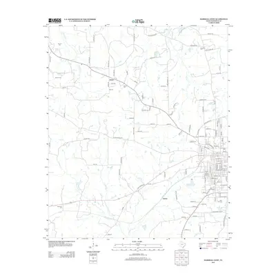
2013 Map of Marshall West
USGS Topo · Published 2013About this map
E Texas Baptist Univ and Wiley Coll anchor the eastern urban edge of this 2013 landscape, where the street grid of western Marshall transitions into the rural reaches of Harrison County. The area is defined by a network of local roads such as Old Longview Rd and Noonday Rd that connect the small communities of Nesbitt and Quiney. This digital-era survey reveals how modern infrastructure overlies an older rural geography, with multiple family and church burial grounds like New Zion Cem and Tage Cem scattered among the timbered creek bottoms. Natural drainage is dictated by numerous waterways including Potters Cr, Lawrence Cr, and Rainey Cr. Industrial activity is noted north of the city at the Pettit Oil Field, showing the continued significance of resource extraction alongside the region's prominent educational institutions.
Find a feature on this map
121 named features on this map. Tap any name to fly to it.
Don’t see what you’re looking for? This feature index may not catch every label — zoom into the map to look around manually.
Map Details
Editions of this 2013 Marshall West Map
This is the sole edition of this map. No revisions or reprints were ever made.
Other maps of this area

1956 · Tyler
USGS Topo · 1:250,000

1958 · Darco
USGS Topo · 1:62,500

1958 · Tatum
USGS Topo · 1:62,500

1961 · Hallsville
USGS Topo · 1:24,000

1961 · Harleton
USGS Topo · 1:24,000

1962 · Marshall NW
USGS Topo · 1:24,000

1962 · Marshall West
USGS Topo · 1:24,000

1962 · Woodlawn
USGS Topo · 1:24,000

1962 · Marshall East
USGS Topo · 1:24,000

1983 · Easton
USGS Topo · 1:24,000