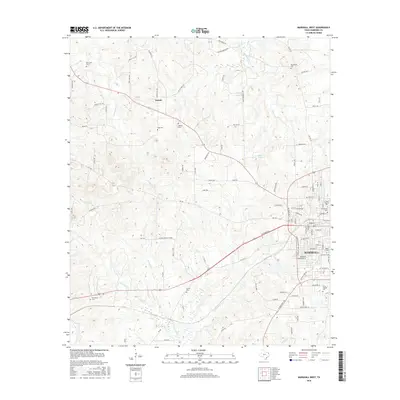
2016 Map of Marshall West
USGS Topo · Published 2016About this map
The western edge of Marshall anchors this 2016 survey, where the expanding city grid meets the wooded creek bottoms of Harrison County. The landscape is defined by the headwaters of Potters Creek and Cold Water Creek, with the settlement of Nesbitt situated to the northwest along the historic Highway 154 corridor. Institutional history is prominent on this map, which details the campuses of Wiley College and East Texas Baptist University on the city's western flank.
Find a feature on this map
93 named features on this map. Tap any name to fly to it.
Don’t see what you’re looking for? This feature index may not catch every label — zoom into the map to look around manually.
Map Details
Editions of this 2016 Marshall West Map
This is the sole edition of this map. No revisions or reprints were ever made.
Other maps of this area

1956 · Tyler
USGS Topo · 1:250,000

1958 · Darco
USGS Topo · 1:62,500

1958 · Tatum
USGS Topo · 1:62,500

1961 · Hallsville
USGS Topo · 1:24,000

1961 · Harleton
USGS Topo · 1:24,000

1962 · Marshall NW
USGS Topo · 1:24,000

1962 · Marshall West
USGS Topo · 1:24,000

1962 · Woodlawn
USGS Topo · 1:24,000

1962 · Marshall East
USGS Topo · 1:24,000

1983 · Easton
USGS Topo · 1:24,000