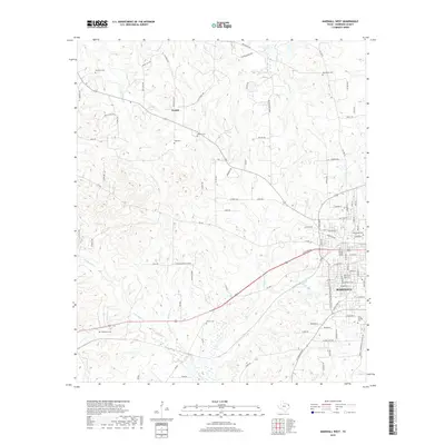
2019 Map of Marshall West
USGS Topo · Published 2019About this map
Marshall anchor the southeastern corner of this survey, showing the city's western expansion and institutional landmarks like the Wiley College Cem. The landscape to the north and west transitions into the rolling terrain of Harrison County, defined by a network of rural routes such as FM 449 and Lane RD. The small settlement of Nesbitt sits at a crossroads, surrounded by numerous family and community burial sites that speak to the area's deep-rooted history, including Nesbitt Cem, Tage Cem, and New Zion Cem. A dense drainage system of creeks, including Potters Creek and Cold Water Creek, carves through the timbered land, illustrating the natural geography that influenced early land use and road placement in this part of East Texas.
Find a feature on this map
90 named features on this map. Tap any name to fly to it.
Don’t see what you’re looking for? This feature index may not catch every label — zoom into the map to look around manually.
Map Details
Editions of this 2019 Marshall West Map
This is the sole edition of this map. No revisions or reprints were ever made.
Other maps of this area

1956 · Tyler
USGS Topo · 1:250,000

1958 · Darco
USGS Topo · 1:62,500

1958 · Tatum
USGS Topo · 1:62,500

1961 · Hallsville
USGS Topo · 1:24,000

1961 · Harleton
USGS Topo · 1:24,000

1962 · Marshall NW
USGS Topo · 1:24,000

1962 · Marshall West
USGS Topo · 1:24,000

1962 · Woodlawn
USGS Topo · 1:24,000

1962 · Marshall East
USGS Topo · 1:24,000

1983 · Easton
USGS Topo · 1:24,000