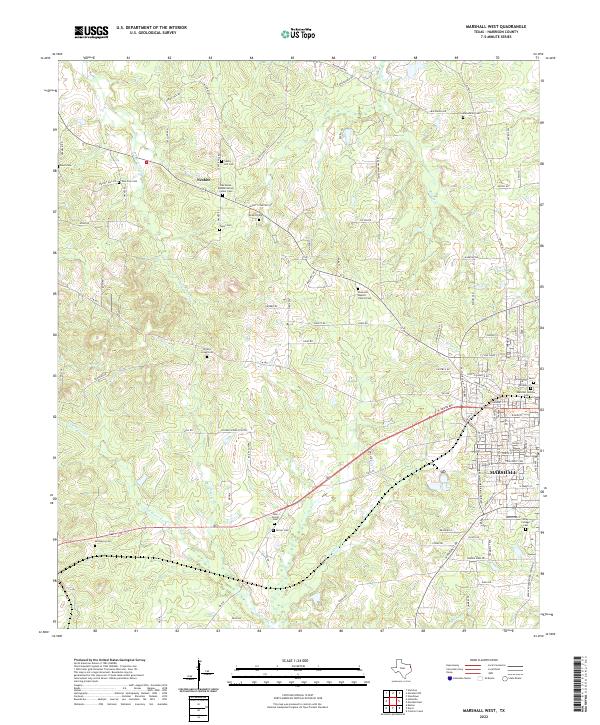
2022 Map of Marshall West
USGS Topo · Published 2022About this map
Marshall anchors the southeastern corner of this landscape, where the historic campus of Wiley College and its associated Wiley College Cem signify the deep-rooted cultural importance of this Harrison County hub. The area to the west transitions into a pattern of rural family settlements and church-centered communities, particularly around Nesbitt. This region is remarkably dense with family and community burial grounds, from the Muckleroy Cem in the southwest to the Macedonia Cem in the north, reflecting generations of continuous settlement and local heritage.
Find a feature on this map
103 named features on this map. Tap any name to fly to it.
Don’t see what you’re looking for? This feature index may not catch every label — zoom into the map to look around manually.
Map Details
Editions of this 2022 Marshall West Map
This is the sole edition of this map. No revisions or reprints were ever made.
Other maps of this area

1956 · Tyler
USGS Topo · 1:250,000

1958 · Darco
USGS Topo · 1:62,500

1958 · Tatum
USGS Topo · 1:62,500

1961 · Hallsville
USGS Topo · 1:24,000

1961 · Harleton
USGS Topo · 1:24,000

1962 · Marshall NW
USGS Topo · 1:24,000

1962 · Marshall West
USGS Topo · 1:24,000

1962 · Woodlawn
USGS Topo · 1:24,000

1962 · Marshall East
USGS Topo · 1:24,000

1983 · Easton
USGS Topo · 1:24,000