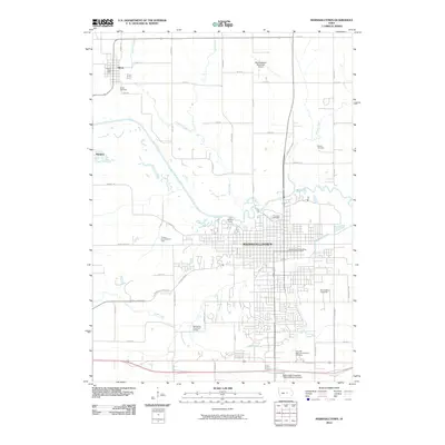
2010 Map of Marshalltown
USGS Topo · Published 2010About this map
The Iowa River carves a winding path through this central Iowa landscape, dividing the urban grid of Marshalltown from the agricultural expanses to the north. At the heart of the community, the Iowa Soldiers Home stands as a prominent landmark near the riverbanks, while the Marshalltown Post Office and Buena Vista University - Marshalltown Campus anchor the civic and educational center. To the northwest, the smaller settlements of Albion and Marietta maintain their distinct identities, with Albion serving as a local hub featuring the Albion Post Office and Albion Cemetery.
Find a feature on this map
52 named features on this map. Tap any name to fly to it.
Don’t see what you’re looking for? This feature index may not catch every label — zoom into the map to look around manually.
Map Details
Editions of this 2010 Marshalltown Map
This is the sole edition of this map. No revisions or reprints were ever made.
Other maps of this area

1954 · Waterloo
USGS Topo · 1:250,000

1954 · Des Moines
USGS Topo · 1:250,000

1955 · Waterloo
USGS Topo · 1:250,000

1956 · Des Moines
USGS Topo · 1:250,000

1957 · Des Moines
USGS Topo · 1:250,000

1960 · Marshalltown
USGS Topo · 1:24,000

1960 · Marshalltown
USGS Topo · 1:62,500

1960 · Le Grand
USGS Topo · 1:24,000

1960 · Conrad West
USGS Topo · 1:24,000

1960 · Conrad East
USGS Topo · 1:24,000