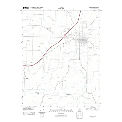
1982 Map of Marshfield
USGS Topo · Published 1983About this map
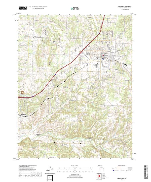
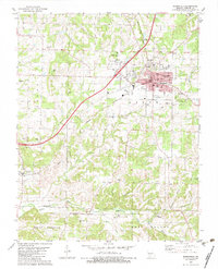
The county seat of Marshfield serves as the focal point for this Webster County survey, showing a landscape defined by traditional settlement patterns and the Burlington Northern railroad. The town's layout includes central landmarks like the Courthouse and education hubs like the High Sch and Jr High Sch. Beyond the town limits, the terrain transitions into agricultural land and wooded creek valleys, with numerous family-named burial sites such as Bumgarner Cem, Thomas Cem, and Osborn Cem serving as vital markers for local genealogists.
Find a feature on this map
43 named features on this map. Tap any name to fly to it.
Don’t see what you’re looking for? This feature index may not catch every label — zoom into the map to look around manually.
Map Details
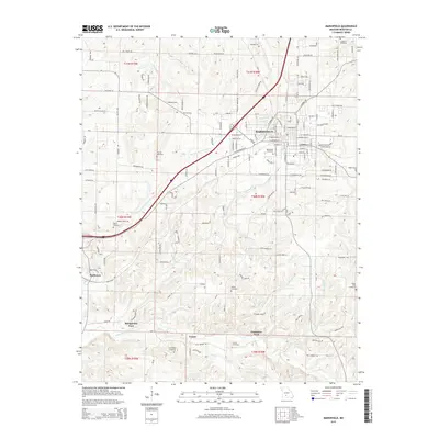
Editions of this 1982 Marshfield Map
This is the sole edition of this map. No revisions or reprints were ever made.
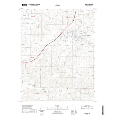
Historical Maps of Marshfield Through Time
5 maps found