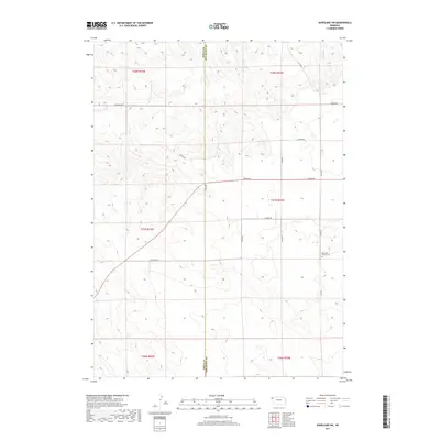
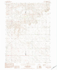
2017 Map of Marsland SW
USGS Topo · Published 2017About this map
The Sioux Co and Box Butte Co line bisects this portion of the Nebraska High Plains, revealing a landscape defined by expansive section lines and a sparse network of county roads. The most significant cultural landmark is the Bohemian Pioneer Cem in the eastern section of the quadrangle, which serves as a vital touchstone for the heritage of the Central European settlers who homesteaded this region. The area's road system, including Carlson Rd, Dodge Rd, and Franklin Rd, reflects the grid-based development typical of the American West. This 2017 survey documents the enduring pastoral nature of the region, where the terrain is marked by gentle undulations and ephemeral watercourses, remaining largely unchanged in its rural character since the early days of settlement.
Find a feature on this map
14 named features on this map. Tap any name to fly to it.
Don’t see what you’re looking for? This feature index may not catch every label — zoom into the map to look around manually.
Map Details
Editions of this 2017 Marsland SW Map
This is the sole edition of this map. No revisions or reprints were ever made.
Other maps of this area

1899 · Whistle Creek
USGS Topo · 1:125,000

1951 · Marsland
USGS Topo · 1:62,500

1951 · Kilpatrick Lake
USGS Topo · 1:62,500

1955 · Alliance
USGS Topo · 1:250,000

1957 · Alliance
USGS Topo · 1:250,000

1958 · Alliance
USGS Topo · 1:250,000
1983 · Marsland SE
USGS Topo · 1:24,000
1983 · Marsland
USGS Topo · 1:24,000
1983 · Kilpatrick Lake NW
USGS Topo · 1:24,000
1983 · Marsland SW
USGS Topo · 1:24,000