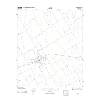
2013 Map of Mart
USGS Topo · Published 2013About this map
Mart serves as the central hub of this eastern McLennan County landscape, defined by its grid of residential streets and localized infrastructure. The surrounding terrain is heavily articulated by a network of drainage systems, including the prominent Big Cr and the winding course of Cottonwood Cr. These waterways dictate the layout of rural routes such as Big Creek Rd and Cottonwood Creek Rd, which navigate the gentle elevation changes of the Texas blackland prairies. Local history and genealogy are anchored by established sites such as Evergreen Cem on the western edge of the settlement and the more secluded Wise Cem to the south. The map further documents numerous secondary water features like Hogpen Cr and Christmas Cr, illustrating the intricate natural drainage required for the region's agricultural productivity.
Find a feature on this map
77 named features on this map. Tap any name to fly to it.
Don’t see what you’re looking for? This feature index may not catch every label — zoom into the map to look around manually.
Map Details
Editions of this 2013 Mart Map
This is the sole edition of this map. No revisions or reprints were ever made.
Other maps of this area

1920 · Mart
USGS Topo · 1:62,500

1954 · Waco
USGS Topo · 1:250,000

1955 · Waco
USGS Topo · 1:250,000

1956 · Axtell
USGS Topo · 1:24,000

1956 · Mart
USGS Topo · 1:24,000

1957 · Prairie Hill
USGS Topo · 1:24,000

1957 · Groesbeck
USGS Topo · 1:62,500

1957 · Otto
USGS Topo · 1:24,000

1957 · Riesel
USGS Topo · 1:24,000
1957 · Elk
USGS Topo · 1:24,000