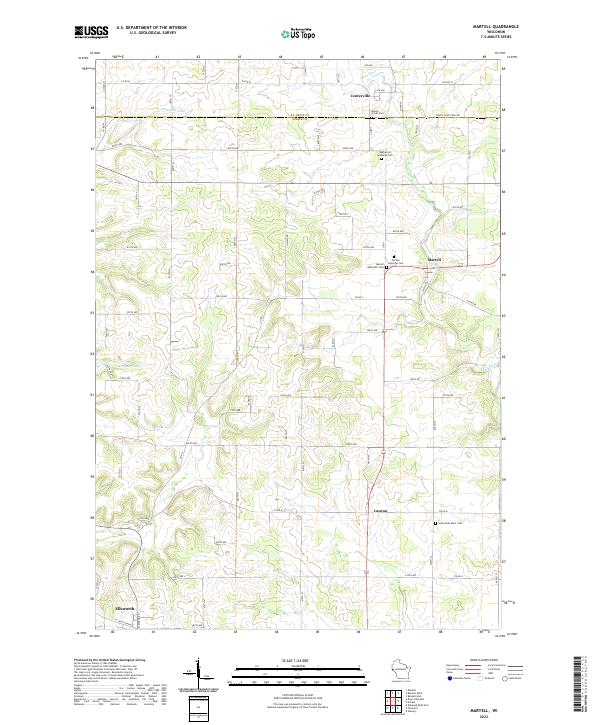
2022 Map of Martell
USGS Topo · Published 2022About this map
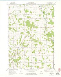
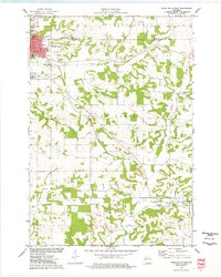
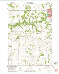
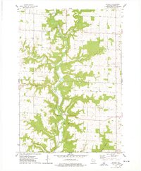
Rush River winds through the heart of this landscape, anchoring several small communities in eastern Pierce County. The village of Martell sits along its banks, characterized by a concentration of local religious and burial sites including the Martell Lutheran Cem and the Martell Methodist Cem. Further south, Lawton appears near the confluence of Lost Cr, while Centerville occupies the northern reaches of the quadrangle. The terrain is defined by a dense network of township roads and county highways, such as Co HWY T and Co RD M, which trace the section lines and topography between the river valleys.
Find a feature on this map
78 named features on this map. Tap any name to fly to it.
Don’t see what you’re looking for? This feature index may not catch every label — zoom into the map to look around manually.
Map Details
Editions of this 2022 Martell Map
This is the sole edition of this map. No revisions or reprints were ever made.
Historical Maps of Morton Corner Through Time
17 maps found

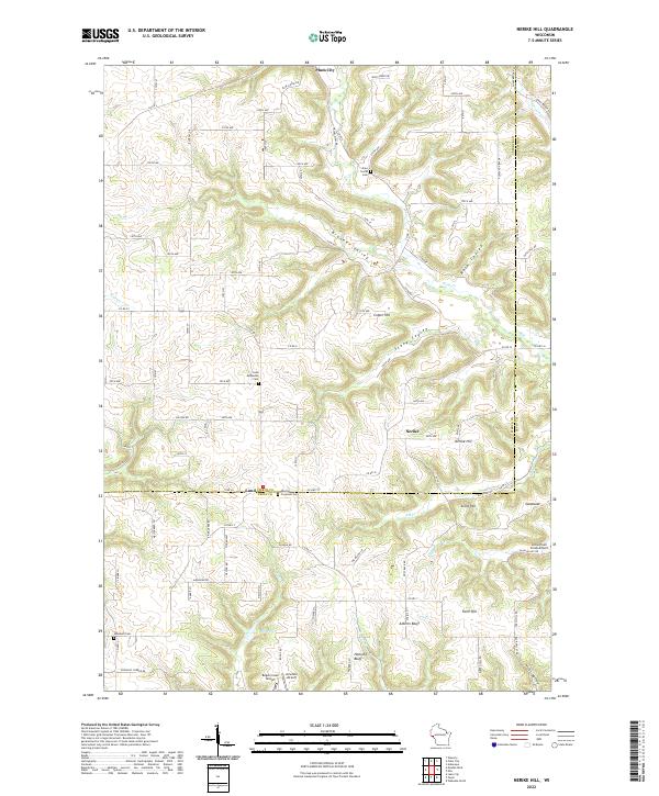
1972 Nerike Hill
Pierce County, WI
1974 Diamond Bluff East
Pierce County, WI
1974 Diamond Bluff West
Pierce County, WI
1974 El Paso
Pierce County, WI
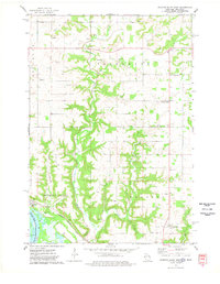
1974 Martell
Pierce County, WI
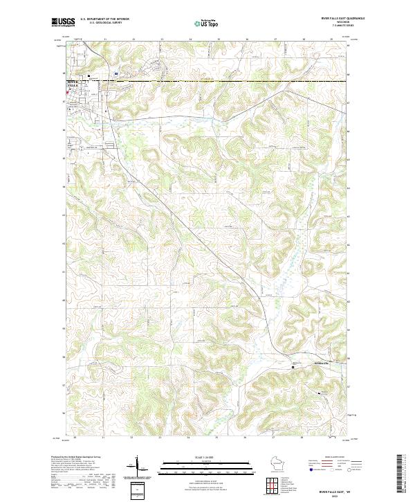
1974 River Falls East
Pierce County, WI
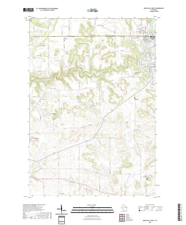
1974 River Falls West
Pierce County, WI
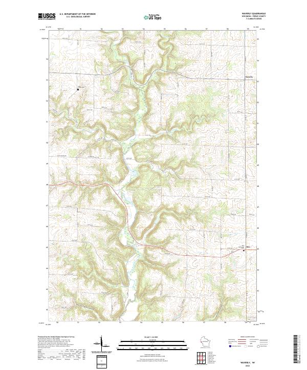
1974 Waverly
Pierce County, WI
1992 Diamond Bluff West
Pierce County, WI
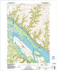
2022 Diamond Bluff East
Pierce County, WI
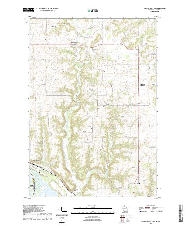
2022 Diamond Bluff West
Pierce County, WI
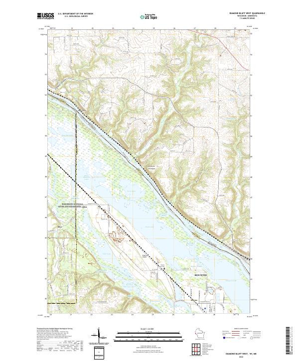
2022 El Paso
Pierce County, WI
2022 Martell
Pierce County, WI
2022 Nerike Hill
Pierce County, WI
2022 River Falls East
Pierce County, WI
2022 River Falls West
Pierce County, WI
2022 Waverly
Pierce County, WI