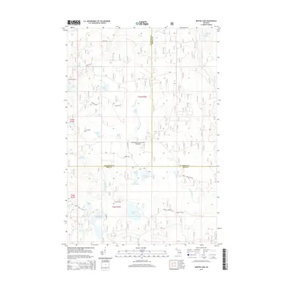
2014 Map of Marten Lake
USGS Topo · Published 2014About this map
Ottawa National Forest encompasses much of this Upper Peninsula landscape, where three northern Michigan counties—Houghton, Baraga, and Iron—intersect. The area is defined by a high density of glacial kettle lakes and wetlands, connected by an intricate network of forest service roads such as Federal Forest 2127 Rd and Pondizzo Rd. Notable water bodies like Marten Lake, Norway Lake, and Lake Sainte Kathryn are central features, often accompanied by smaller basins like Peck Lake and Kunze Lake.
Find a feature on this map
50 named features on this map. Tap any name to fly to it.
Don’t see what you’re looking for? This feature index may not catch every label — zoom into the map to look around manually.
Map Details
Editions of this 2014 Marten Lake Map
This is the sole edition of this map. No revisions or reprints were ever made.
Other maps of this area

1895 · Perch Lake
USGS Topo · 1:62,500

1954 · Rousseau
USGS Topo · 1:62,500

1954 · Kenton
USGS Topo · 1:62,500

1954 · Perch Lake
USGS Topo · 1:62,500

1954 · Sidnaw
USGS Topo · 1:62,500

1958 · Iron River
USGS Topo · 1:250,000

1960 · Iron River
USGS Topo · 1:250,000

1961 · Iron River
USGS Topo · 1:250,000

1967 · Iron River
USGS Topo · 1:250,000
1982 · Echo Lake
USGS Topo · 1:25,000