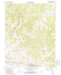
1972 Map of Marthasville
USGS Topo · Published 1986About this map
The town of Marthasville and the hamlet of Peers anchor this portion of the Missouri River valley in Warren County. The southern edge of the map is defined by the fertile La Charrette Bottom and the expansive Boeuf Island, separated from the mainland by the Peers Slough. The Missouri - Kansas - Texas railroad tracks follow the base of the bluffs, providing a vital transportation corridor through this agricultural and industrial landscape.
Find a feature on this map
26 named features on this map. Tap any name to fly to it.
Don’t see what you’re looking for? This feature index may not catch every label — zoom into the map to look around manually.
Map Details
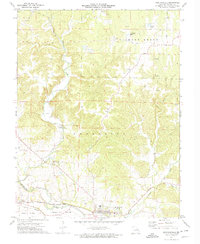
Editions of this 1972 Marthasville Map
2 editions found
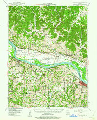
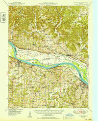
Other maps of this area

1890 · Hermann
USGS Topo · 1:125,000

1903 · O'Fallon
USGS Topo · 1:125,000

1941 · Troy
USGS Topo · 1:62,500

1943 · Warrenton
USGS Topo · 1:62,500

1945 · Troy
USGS Topo · 1:62,500

1945 · Warrenton
USGS Topo · 1:62,500
1948 · Washington
USGS Topo · 1:62,500

1948 · Augusta
USGS Topo · 1:62,500

1949 · Saint Louis
USGS Topo · 1:250,000
1949 · Washington
USGS Topo · 1:62,500