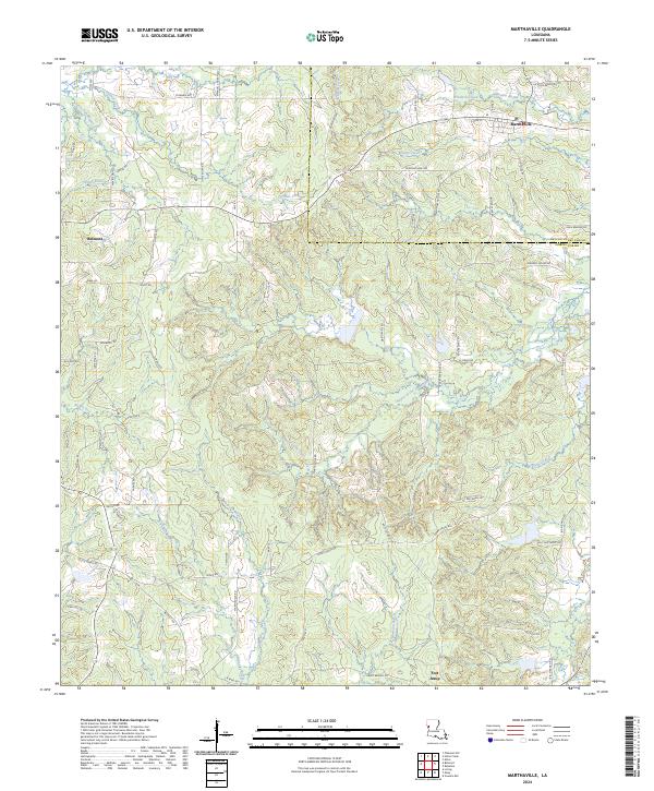
2024 Map of Marthaville
USGS Topo · Published 2024About this map
Marthaville sits at the northern edge of this Louisiana landscape, serving as a focal point for a region defined by its complex network of waterways and timber-related infrastructure. The terrain is marked by numerous bayous and creeks, such as the Bayou of the Three Prairies and Harpoon Bayou, which drain the undulating woodlands between the Natchitoches Parish and Sabine Parish line. Historical land use is suggested by local naming conventions, including Sawmill Rd, pointing to the area's long-standing reliance on the piney woods economy.
Find a feature on this map
69 named features on this map. Tap any name to fly to it.
Don’t see what you’re looking for? This feature index may not catch every label — zoom into the map to look around manually.
Map Details
Editions of this 2024 Marthaville Map
This is the sole edition of this map. No revisions or reprints were ever made.
Other maps of this area

1938 · Hollis Creek
USGS Topo · 1:31,680

1938 · Allen
USGS Topo · 1:31,680

1941 · Zwolle
USGS Topo · 1:62,500

1941 · Pelican
USGS Topo · 1:62,500

1942 · Many
USGS Topo · 1:62,500

1943 · Many
USGS Topo · 1:62,500

1943 · Pleasant Hill
USGS Topo · 1:62,500

1944 · Zwolle
USGS Topo · 1:62,500

1944 · Pleasant Hill
USGS Topo · 1:62,500

1947 · Hanna
USGS Topo · 1:62,500