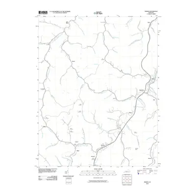
2010 Map of Martin
USGS Topo · Published 2010About this map
Martin and the surrounding hollows of Floyd County are documented here during the first decade of the 21st century. The landscape is defined by the tight drainage networks of the Levisa Fork watershed, where settlements like Alphoretta, Warco, and Eastern follow the winding paths of Right Fork Beaver Creek and Wilson Creek. This era shows a dense concentration of family-named landmarks and ancestral burial grounds, including the Northern Allen Cemetery near Goose Creek and the Atkins Cemetery situated along the slopes above Brush Creek. The placement of rural postal stations such as Bob Post Office and Dock Post Office illustrates the persistent, decentralized nature of these mountain communities. The road network, including Big Fork Rd and Wilson Fork Rd, traces the narrow valleys, providing a clear record of the area's development before modern changes.
Find a feature on this map
88 named features on this map. Tap any name to fly to it.
Don’t see what you’re looking for? This feature index may not catch every label — zoom into the map to look around manually.
Map Details
Editions of this 2010 Martin Map
This is the sole edition of this map. No revisions or reprints were ever made.
Other maps of this area

1886 · Prestonsburg
USGS Topo · 1:125,000

1890 · Whitesburg
USGS Topo · 1:125,000

1892 · Whitesburg
USGS Topo · 1:125,000

1892 · Prestonsburg
USGS Topo · 1:125,000

1912 · Hindman
USGS Topo · 1:48,000

1914 · Laynesville
USGS Topo · 1:48,000

1914 · Vergie
USGS Topo · 1:48,000

1915 · Prestonsburg
USGS Topo · 1:62,500

1915 · Hindman
USGS Topo · 1:62,500

1916 · Harold
USGS Topo · 1:62,500