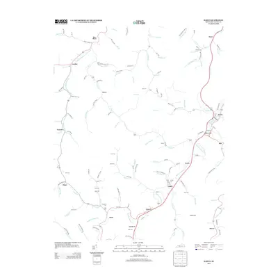
2013 Map of Martin
USGS Topo · Published 2013About this map
Beaver Cr and its various forks define the settlement pattern of this eastern Kentucky landscape, where small communities like Martin and Alphoretta developed along the narrow valley floors. The 2013 topography reveals the persistent influence of family genealogy on the land, marked by numerous burial grounds such as Pitts Cem, Frazer Cem, and Ratliff Cem. These cemeteries, often positioned on higher ground above the drainages, provide a significant spatial record for researchers tracing local lineages.
Find a feature on this map
134 named features on this map. Tap any name to fly to it.
Don’t see what you’re looking for? This feature index may not catch every label — zoom into the map to look around manually.
Map Details
Editions of this 2013 Martin Map
This is the sole edition of this map. No revisions or reprints were ever made.
Other maps of this area

1886 · Prestonsburg
USGS Topo · 1:125,000

1890 · Whitesburg
USGS Topo · 1:125,000

1892 · Whitesburg
USGS Topo · 1:125,000

1892 · Prestonsburg
USGS Topo · 1:125,000

1912 · Hindman
USGS Topo · 1:48,000

1914 · Laynesville
USGS Topo · 1:48,000

1914 · Vergie
USGS Topo · 1:48,000

1915 · Prestonsburg
USGS Topo · 1:62,500

1915 · Hindman
USGS Topo · 1:62,500

1916 · Harold
USGS Topo · 1:62,500