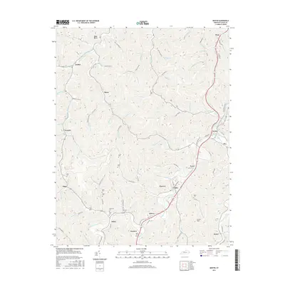
2016 Map of Martin
USGS Topo · Published 2016About this map
The mountain settlements of Floyd County are captured in this 2016 survey, showing a landscape defined by narrow hollows and deep creek valleys. In the southeastern portion of the quadrangle, Martin serves as a primary hub near Hite, while smaller communities like Eastern, Northern, and Langley follow the path of the valley floor. The geography here is intensely localized, with countless named branches such as Molly Cabin Br and Buckeye Br feeding into larger systems like the Blue River.
Find a feature on this map
123 named features on this map. Tap any name to fly to it.
Don’t see what you’re looking for? This feature index may not catch every label — zoom into the map to look around manually.
Map Details
Editions of this 2016 Martin Map
This is the sole edition of this map. No revisions or reprints were ever made.
Other maps of this area

1886 · Prestonsburg
USGS Topo · 1:125,000

1890 · Whitesburg
USGS Topo · 1:125,000

1892 · Whitesburg
USGS Topo · 1:125,000

1892 · Prestonsburg
USGS Topo · 1:125,000

1912 · Hindman
USGS Topo · 1:48,000

1914 · Laynesville
USGS Topo · 1:48,000

1914 · Vergie
USGS Topo · 1:48,000

1915 · Prestonsburg
USGS Topo · 1:62,500

1915 · Hindman
USGS Topo · 1:62,500

1916 · Harold
USGS Topo · 1:62,500