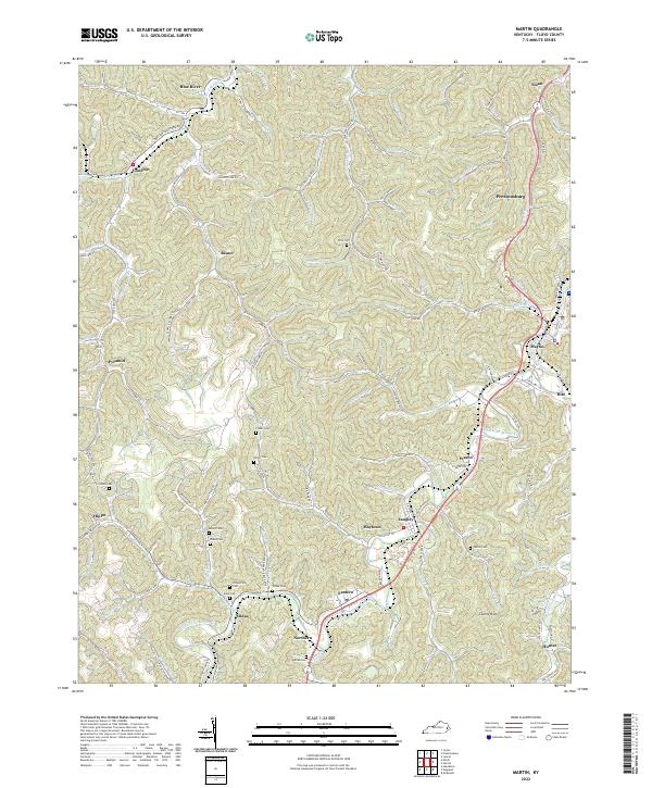
2022 Map of Martin
USGS Topo · Published 2022About this map
Martin and Prestonsburg anchor this section of Floyd County, where the landscape is defined by the winding course of the Right Fork Beaver Cr. The settlement pattern follows the narrow valley floors between steep ridges, creating a dense network of mountain communities like Midas, Eastern, and Northern. This 2022 survey captures the persistent topography of the coalfields, where family history is etched into the hillsides through numerous small burial grounds such as Ratliff Cem, Atkins Cem, and Pitts Cem.
Find a feature on this map
114 named features on this map. Tap any name to fly to it.
Don’t see what you’re looking for? This feature index may not catch every label — zoom into the map to look around manually.
Map Details
Editions of this 2022 Martin Map
This is the sole edition of this map. No revisions or reprints were ever made.
Other maps of this area

1886 · Prestonsburg
USGS Topo · 1:125,000

1890 · Whitesburg
USGS Topo · 1:125,000

1892 · Whitesburg
USGS Topo · 1:125,000

1892 · Prestonsburg
USGS Topo · 1:125,000

1912 · Hindman
USGS Topo · 1:48,000

1914 · Laynesville
USGS Topo · 1:48,000

1914 · Vergie
USGS Topo · 1:48,000

1915 · Prestonsburg
USGS Topo · 1:62,500

1915 · Hindman
USGS Topo · 1:62,500

1916 · Harold
USGS Topo · 1:62,500