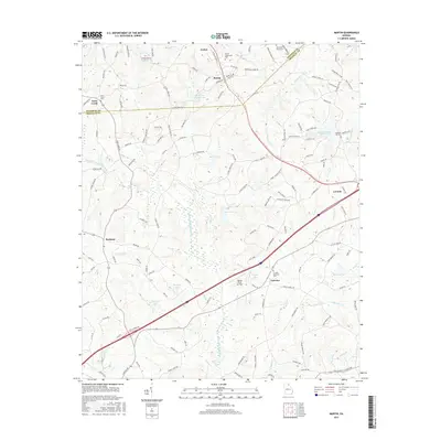
2017 Map of Martin
USGS Topo · Published 2017About this map
Lavonia and Martin serve as the primary anchors for this region where the southern Appalachians begin to level into the Georgia Piedmont. The landscape is defined by an intricate network of water management and rural infrastructure, including Lavonia Water Works Lake and numerous numbered reservoirs such as Reservoir 32 and Reservoir 33. These catchments, along with the North Fork Broad River, provide a backdrop for a series of family-named road networks like Anderson Thomas Rd and Burgess Rd that hint at generations of local landownership. The presence of the Broad River Air Park near Fairview highlights the area's modern utility alongside older landmarks like the Martin Community Cem. Smaller settlements such as Avalon, Toms Creek, and Parhams are interspersed among the drainages of Gum Log Cr and Unawatti Cr, illustrating a persistent pattern of rural habitation and agricultural continuity in Stephens Co and Franklin Co.
Find a feature on this map
133 named features on this map. Tap any name to fly to it.
Don’t see what you’re looking for? This feature index may not catch every label — zoom into the map to look around manually.
Map Details
Editions of this 2017 Martin Map
This is the sole edition of this map. No revisions or reprints were ever made.
Other maps of this area

1886 · Walhalla
USGS Topo · 1:125,000

1891 · Carnesville
USGS Topo · 1:125,000

1892 · Walhalla
USGS Topo · 1:125,000

1896 · Walhalla
USGS Topo · 1:125,000

1954 · Greenville
USGS Topo · 1:250,000

1958 · Greenville
USGS Topo · 1:250,000

1959 · Carnesville
USGS Topo · 1:24,000

1959 · Lavonia
USGS Topo · 1:24,000

1959 · Royston
USGS Topo · 1:24,000

1960 · Martin
USGS Topo · 1:24,000