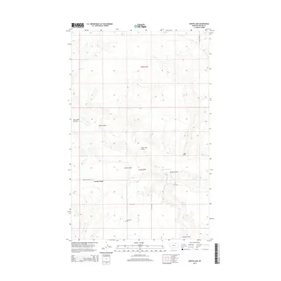
2014 Map of Martin Lake
USGS Topo · Published 2014About this map
Loring Colony serves as a central anchor in this northern Phillips County landscape, situated amidst a complex drainage network characteristic of the high plains. The topography is defined by numerous coulees, such as Barton Coulee and Martin Lake Coulee, which channel seasonal water toward Martin Lake and the southeastern Lake Coulee. This 2014 survey reveals a transition in land use, where the expansive tracts of the Public Land Survey System, including t35n r29e and t36n r29e, are bisected by local transportation routes like Turner Cutacross Rd and Lovejoy Rd. For genealogists, the Hermanson Cem near the southern margin provides a specific point of local historical interest, while the presence of Little Cottonwood Cr indicates the natural water sources that have long shaped ranching and settlement patterns in this region of Montana.
Find a feature on this map
14 named features on this map. Tap any name to fly to it.
Don’t see what you’re looking for? This feature index may not catch every label — zoom into the map to look around manually.
Map Details
Editions of this 2014 Martin Lake Map
This is the sole edition of this map. No revisions or reprints were ever made.
Other maps of this area

1920 · Avery
USGS Topo · 1:125,000

1920 · Cowan
USGS Topo · 1:125,000

1953 · Havre
USGS Topo · 1:250,000

1954 · Glasgow
USGS Topo · 1:250,000

1957 · Glasgow
USGS Topo · 1:250,000

1957 · Havre
USGS Topo · 1:250,000

1958 · Glasgow
USGS Topo · 1:250,000

1958 · Havre
USGS Topo · 1:250,000

1984 · Austin Coulee
USGS Topo · 1:24,000

1984 · Morgan
USGS Topo · 1:24,000