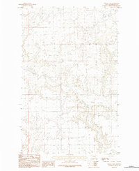
1984 Map of Martin Lake
USGS Topo · Published 1984About this map
Martin Lake sits as the central geographic feature in this north-central Montana landscape within Phillips County. This 1984 provisional survey captures the intricate topographical details of the basin surrounding the lake, showcasing a complex system of drainage patterns and subtle elevation changes typical of the northern plains. While largely a natural study of the terrain, the map meticulously records the local road network and section lines that define land ownership and access in this part of the state. The specialized contour intervals highlight the depressions and small rises that characterize the area around the water body, providing a clear picture of the hydrological environment before more recent landscape modifications.
Find a feature on this map
1 named feature on this map. Tap any name to fly to it.
Don’t see what you’re looking for? This feature index may not catch every label — zoom into the map to look around manually.
Map Details
Editions of this 1984 Martin Lake Map
This is the sole edition of this map. No revisions or reprints were ever made.
Other maps of this area

1920 · Avery
USGS Topo · 1:125,000

1920 · Cowan
USGS Topo · 1:125,000

1953 · Havre
USGS Topo · 1:250,000

1954 · Glasgow
USGS Topo · 1:250,000

1957 · Glasgow
USGS Topo · 1:250,000

1957 · Havre
USGS Topo · 1:250,000

1958 · Glasgow
USGS Topo · 1:250,000

1958 · Havre
USGS Topo · 1:250,000

1984 · Austin Coulee
USGS Topo · 1:24,000

1984 · Morgan
USGS Topo · 1:24,000