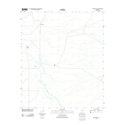
2011 Map of Martin Well
USGS Topo · Published 2011About this map
The San Simon River creates the primary drainage through this desert landscape in Cochise County, shaping the surrounding terrain through features like Buckeye Wash and Tule Wells Draw. Evidence of desert land management and historical ranching activity is visible through isolated outposts such as Chaney Place and the eponymous Martin Well. Infrastructure is sparse, characterized by unpaved routes like Hackberry Rd and Fan Rd, alongside specialized water management projects including the San Simon Dam Drop Structure. The mapping of The Fan indicates a significant alluvial landform where water and sediment disperse after heavy rains. This survey documents the intersection of arid hydrological patterns and the remote human efforts to settle and manage this section of the Arizona borderlands.
Find a feature on this map
9 named features on this map. Tap any name to fly to it.
Don’t see what you’re looking for? This feature index may not catch every label — zoom into the map to look around manually.
Map Details
Editions of this 2011 Martin Well Map
This is the sole edition of this map. No revisions or reprints were ever made.
Other maps of this area

1917 · San Simon
USGS Topo · 1:125,000

1926 · Orange Butte
USGS Topo · 1:62,500

1928 · Bowie
USGS Topo · 1:62,500

1949 · Bowie
USGS Topo · 1:62,500

1950 · San Simon
USGS Topo · 1:62,500

1950 · Bowie
USGS Topo · 1:62,500

1951 · San Simon
USGS Topo · 1:62,500

1954 · Silver City
USGS Topo · 1:250,000

1958 · Silver City
USGS Topo · 1:250,000

1960 · Duncan
USGS Topo · 1:62,500