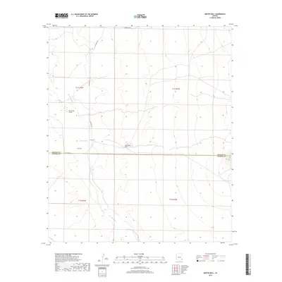
2018 Map of Martin Well
USGS Topo · Published 2018About this map
The San Simon Valley dominates this high-desert landscape on the border of Graham and Cochise counties. In this modern era, the terrain is defined by dry watercourses and alluvial features, notably the braided path of the San Simon River and the broad expanse of The Fan. Settlement remains sparse, centered on the historic Martin Well, a site that signifies the critical importance of groundwater access in this arid region. The drainage patterns are intricate, with Buckeye Wash, Tule Wells Draw, and Sands Draw carving the basin floor. Local transit relies on unpaved connectors such as Hackberry Rd and N Sand Storm Ln, which provide access to the remote rangelands and township divisions.
Find a feature on this map
14 named features on this map. Tap any name to fly to it.
Don’t see what you’re looking for? This feature index may not catch every label — zoom into the map to look around manually.
Map Details
Editions of this 2018 Martin Well Map
This is the sole edition of this map. No revisions or reprints were ever made.
Other maps of this area

1917 · San Simon
USGS Topo · 1:125,000

1926 · Orange Butte
USGS Topo · 1:62,500

1928 · Bowie
USGS Topo · 1:62,500

1949 · Bowie
USGS Topo · 1:62,500

1950 · San Simon
USGS Topo · 1:62,500

1950 · Bowie
USGS Topo · 1:62,500

1951 · San Simon
USGS Topo · 1:62,500

1954 · Silver City
USGS Topo · 1:250,000

1958 · Silver City
USGS Topo · 1:250,000

1960 · Duncan
USGS Topo · 1:62,500