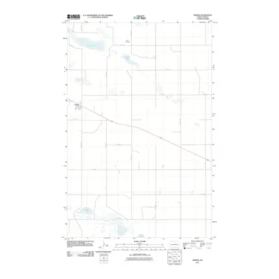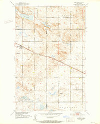
1951 Map of Martin
USGS Topo · Published 1952About this map
Martin sits at the intersection of prairie topography and the Minneapolis St Paul and Sault Ste Marie railroad, serving as a vital transport hub for the surrounding agricultural townships in the early 1950s. The landscape is defined by its glacial prairie potholes and larger water bodies like Clear Lake and Alkali Lake, which dominate the northern sections of the map. This era of rural North Dakota life is documented through its dispersed social infrastructure, including the New German Sch No 2 and Hillsdale Sch No 3. Religious and community heritage is particularly evident in the cluster of cemeteries such as the Lutheran Cem, Evangelical Cem, and Reform Cem, while the Hillsdale Ch remains a landmark in the southern reaches. The boundary lines for Pierce, Sheridan, and Wells counties intersect here, making it a critical record for local genealogy.
Find a feature on this map
22 named features on this map. Tap any name to fly to it.
Don’t see what you’re looking for? This feature index may not catch every label — zoom into the map to look around manually.
Map Details
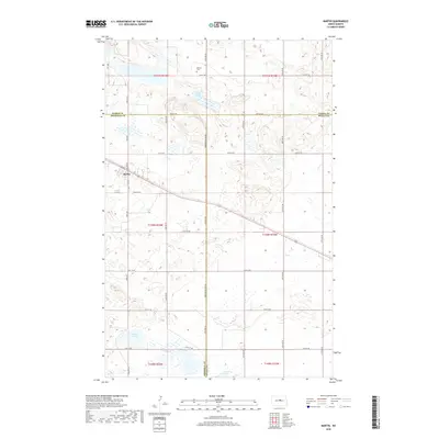
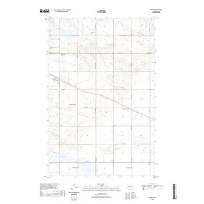
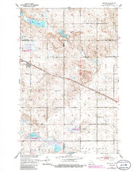
Editions of this 1951 Martin Map
2 editions found
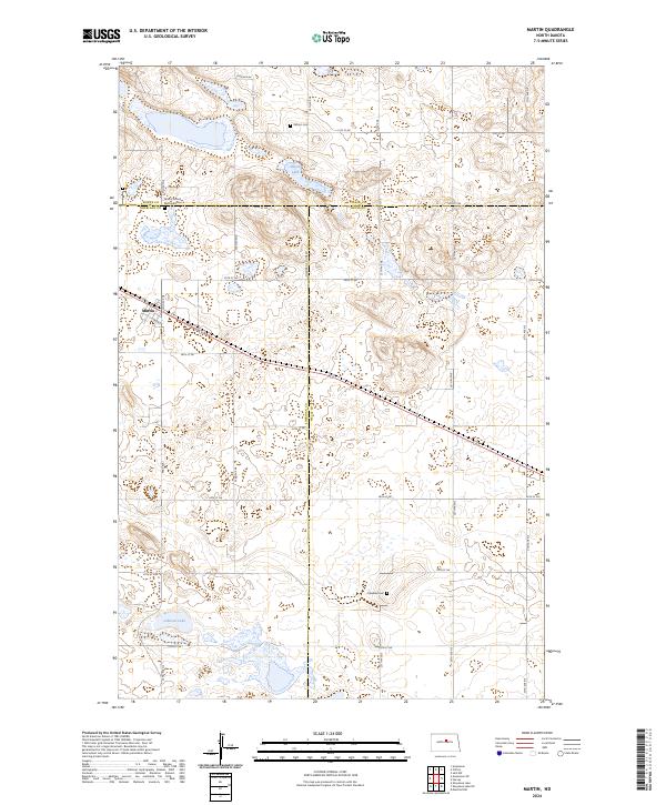
Historical Maps of Martin Through Time
6 maps found