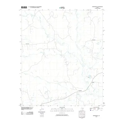
2010 Map of Martinsville
USGS Topo · Published 2010About this map
Martinsville and the surrounding piney woods of Nacogdoches County are defined by a complex network of waterways, where the Attoyac River serves as the primary drainage along the eastern boundary. This 2010 survey shows the area's rural character, anchored by small settlements such as Grigsby and Waterman. The landscape is dominated by the winding paths of several major creeks, including the expansive Naconiche Creek and Terrapin Creek, which traverse the undulating terrain toward the river basin.
Find a feature on this map
16 named features on this map. Tap any name to fly to it.
Don’t see what you’re looking for? This feature index may not catch every label — zoom into the map to look around manually.
Map Details
Editions of this 2010 Martinsville Map
This is the sole edition of this map. No revisions or reprints were ever made.
Other maps of this area

1952 · Nacogdoches
USGS Topo · 1:62,500

1953 · Palestine
USGS Topo · 1:250,000

1957 · Palestine
USGS Topo · 1:250,000

1958 · Martinsville
USGS Topo · 1:62,500

1958 · Timpson
USGS Topo · 1:62,500

1960 · Mount Enterprise
USGS Topo · 1:62,500
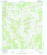
1983 · Woden
USGS Topo · 1:24,000
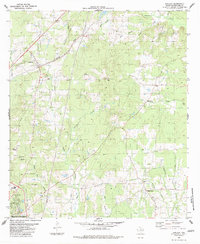
1983 · Appleby
USGS Topo · 1:24,000

1984 · Palestine
USGS Topo · 1:250,000
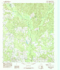
1984 · Chireno North
USGS Topo · 1:24,000